Amodeo Bay Area, Amodeo Bay Postcode(3500) & Map in Amodeo Bay
Amodeo Bay Area, Amodeo Bay Postcode(3500) & Map in Amodeo Bay, Thames-Coromandel District, New Zealand
Amodeo Bay, Thames-Coromandel District, New Zealand
Amodeo Bay Postcodes
Amodeo Bay Area (estimated)
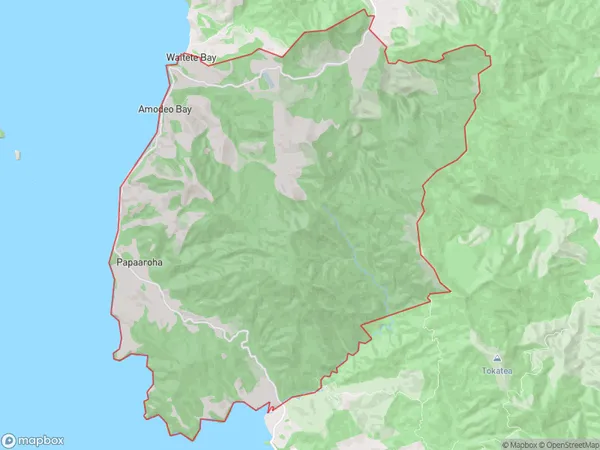
45.0 square kilometersAmodeo Bay Population (estimated)
113 people live in Amodeo Bay, Waikato, NZAmodeo Bay Suburb Area Map (Polygon)
Amodeo Bay Introduction
Amodeo Bay is a picturesque beach located on the Coromandel Peninsula in Waikato, New Zealand. It is known for its crystal-clear waters, white sand, and stunning coastal views. The bay is a popular spot for swimming, snorkeling, and kayaking, and it is surrounded by native forest and picturesque farmland. There are also several campgrounds and holiday parks in the area, making it a great destination for a weekend getaway or longer vacation.Region
Major City
Suburb Name
Amodeo BayOther Name(s)
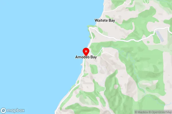
Amodea Bay, Papa ArohaAmodeo Bay Area Map (Street)
Local Authority
Thames-Coromandel DistrictFull Address
Amodeo Bay, Thames-Coromandel District, New ZealandAddress Type
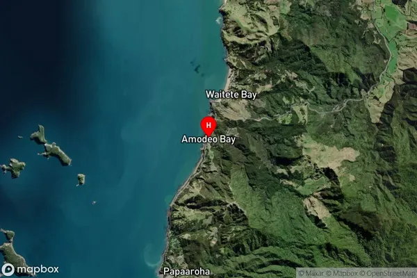
Locality in Town CoromandelAmodeo Bay Suburb Map (Satellite)
Country
Main Region in AU
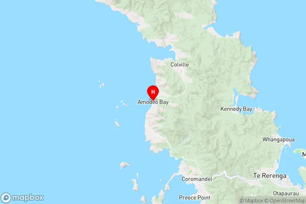
WaikatoAmodeo Bay Region Map
Coordinates
-36.67408,175.44151 (latitude/longitude)Distances
The distance from Amodeo Bay, Coromandel, Thames-Coromandel District to NZ Top 10 Cities