Coromandel Area, Coromandel Postcode(3506) & Map in Coromandel
Coromandel Area, Coromandel Postcode(3506) & Map in Coromandel, Thames-Coromandel District, New Zealand
Coromandel, Thames-Coromandel District, New Zealand
Coromandel Area (estimated)
33.5 square kilometersCoromandel Population (estimated)
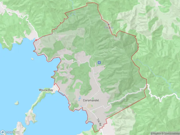
1802 people live in Coromandel, Waikato, NZCoromandel Suburb Area Map (Polygon)
Coromandel Introduction
Coromandel is a peninsula on the North Island of New Zealand, known for its stunning natural beauty, including golden beaches, rugged cliffs, and lush forests. It is a popular destination for outdoor enthusiasts, with activities such as hiking, fishing, and kayaking. The region is also home to the famous Coromandel Peninsula Hot Springs, a collection of natural hot pools that draw visitors from around the world.Region
Major City
Suburb Name
CoromandelOther Name(s)
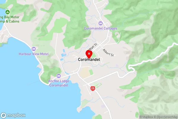
Coromandel HillsCoromandel Area Map (Street)
Local Authority
Thames-Coromandel DistrictFull Address
Coromandel, Thames-Coromandel District, New ZealandAddress Type
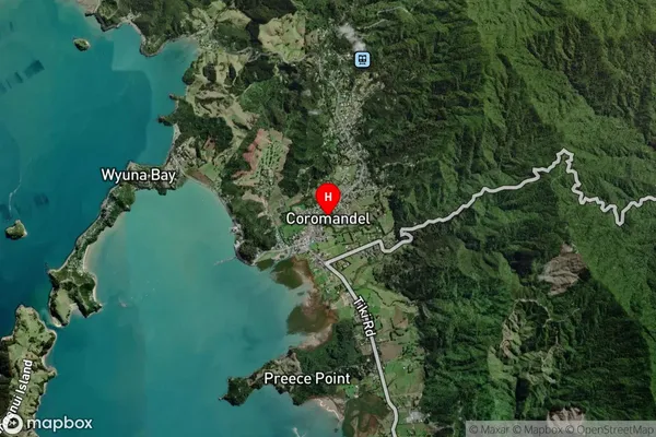
Suburb in Town CoromandelCoromandel Suburb Map (Satellite)
Country
Main Region in AU
WaikatoCoromandel Region Map

Coordinates
-36.7571639,175.5007016 (latitude/longitude)Distances
The distance from Coromandel, Coromandel, Thames-Coromandel District to NZ Top 10 Cities