Waiaro Area, Waiaro Postcode(3500) & Map in Waiaro
Waiaro Area, Waiaro Postcode(3500) & Map in Waiaro, Thames-Coromandel District, New Zealand
Waiaro, Thames-Coromandel District, New Zealand
Waiaro Postcodes
Waiaro Area (estimated)
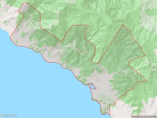
29.4 square kilometersWaiaro Population (estimated)
7 people live in Waiaro, Waikato, NZWaiaro Suburb Area Map (Polygon)
Waiaro Introduction
Waiaro is a small rural community located in the Coromandel Peninsula of Waikato, New Zealand. It is known for its stunning natural scenery, including lush forests, pristine beaches, and crystal-clear rivers. The community has a strong sense of community and is home to a variety of local businesses and amenities, including a primary school, a post office, and a convenience store. Waiaro is also a popular destination for outdoor enthusiasts, with many hiking and biking trails nearby.Region
Major City
Suburb Name
WaiaroOther Name(s)
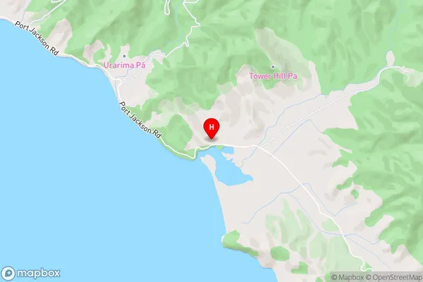
OhiniwaWaiaro Area Map (Street)
Local Authority
Thames-Coromandel DistrictFull Address
Waiaro, Thames-Coromandel District, New ZealandAddress Type
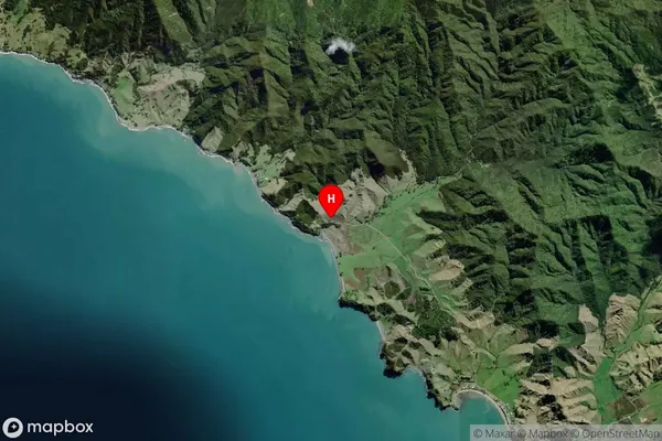
Locality in Town CoromandelWaiaro Suburb Map (Satellite)
Country
Main Region in AU
WaikatoWaiaro Region Map

Coordinates
-36.587328,175.419066 (latitude/longitude)Distances
The distance from Waiaro, Coromandel, Thames-Coromandel District to NZ Top 10 Cities