Te Rerenga Suburbs & Region, Te Rerenga Map & Postcodes in Te Rerenga, Coromandel, Waikato
Te Rerenga Postcodes, Te Rerenga ZipCodes, Te Rerenga , Te Rerenga Waikato, Te Rerenga Suburbs, Te Rerenga Region, Te Rerenga Map, Te Rerenga Area
Te Rerenga Region (Coromandel Hills Region)
Te Rerenga Suburbs
Te Rerenga is a suburb place type in Coromandel, Waikato, NZ. It contains 0 suburbs or localities.Te Rerenga Postcodes
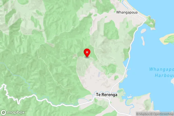
Te Rerenga Region Map
Te Rerenga Introduction
Te Rerenga Waiariki o Waikato is a Māori cultural group based in the Waikato region of New Zealand. It was formed in 1974 to promote and preserve Māori culture, language, and traditions. The group's name means "The Pathway of the Winds" in Māori, and it reflects the group's focus on using traditional Māori instruments and singing styles to express their cultural identity. Te Rerenga Waiariki o Waikato has a wide range of activities and projects that it is involved in, including performing at cultural events, teaching Māori language and culture to children, and running workshops and training sessions for adults. The group also has a strong commitment to social justice and environmental issues, and it has worked to promote these issues through its music and other activities. One of the key achievements of Te Rerenga Waiariki o Waikato has been its role in promoting Māori language and culture to a wider audience. The group has performed at many international events, including the World Expo in Shanghai and the Commonwealth Games in Glasgow, and has helped to raise awareness of Māori culture and its importance to New Zealand's identity. In addition to its musical and cultural activities, Te Rerenga Waiariki o Waikato also has a strong focus on community development and social inclusion. The group runs a number of programs thatTe Rerenga Region
Te Rerenga City
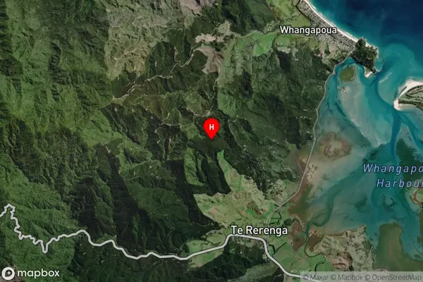
Te Rerenga Satellite Map
Full Address
Te Rerenga, Coromandel, WaikatoTe Rerenga Coordinates
-36.736149,175.587057 (Latitude / Longitude)Te Rerenga Map in NZ
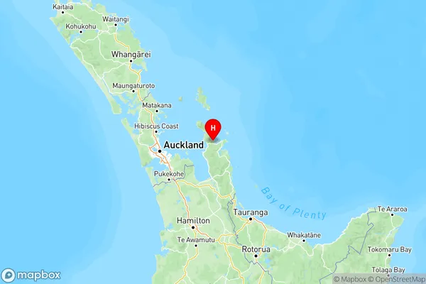
NZ Island
North IslandCountry
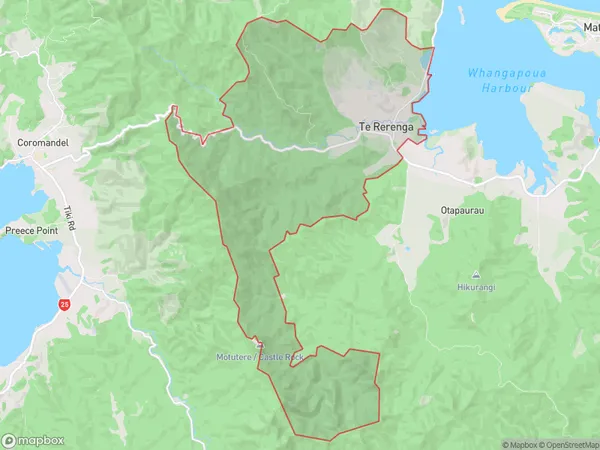
Te Rerenga Area Map (Polygon)
Name
Te RerengaAdditional Name
Coromandel HillsLocal Authority
Thames-Coromandel District
Te Rerenga Suburbs (Sort by Population)
Te Rerenga also known as Coromandel Hills. Te Rerenga suburb has around
40.1 square
kilometers.There are more than 71 people (estimated)
live in Te Rerenga, Coromandel, Waikato, New Zealand.