Te Kouma Area, Te Kouma Postcode(3500) & Map in Te Kouma
Te Kouma Area, Te Kouma Postcode(3500) & Map in Te Kouma, Thames-Coromandel District, New Zealand
Te Kouma, Thames-Coromandel District, New Zealand
Te Kouma Postcodes
Te Kouma Area (estimated)
16.9 square kilometersTe Kouma Population (estimated)
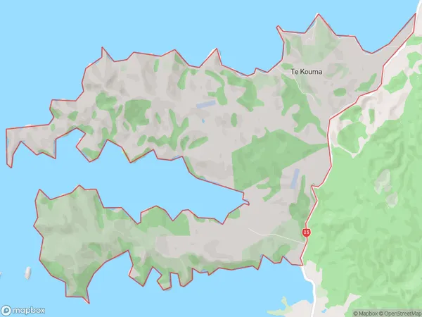
110 people live in Te Kouma, Waikato, NZTe Kouma Suburb Area Map (Polygon)
Te Kouma Introduction
Te Kouma is a small community on the Coromandel Peninsula in Waikato, New Zealand. It is known for its stunning natural scenery, including the Te Kouma Bay and the Kauri Forest. The community has a population of around 100 people and is surrounded by beautiful beaches, native forests, and rolling hills. It is a popular destination for outdoor enthusiasts, with many hiking and biking trails nearby.Region
Major City
Suburb Name
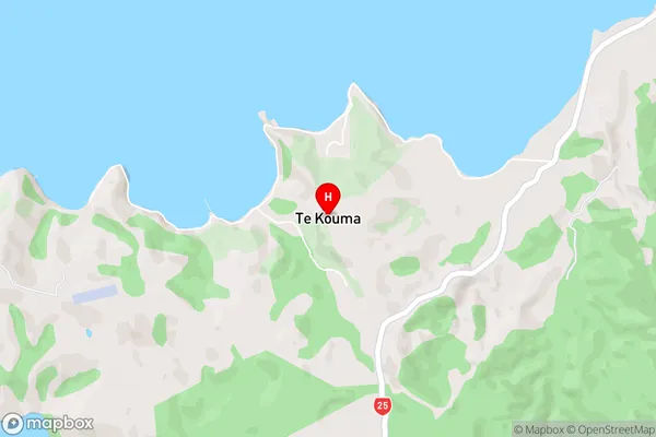
Te KoumaTe Kouma Area Map (Street)
Local Authority
Thames-Coromandel DistrictFull Address
Te Kouma, Thames-Coromandel District, New ZealandAddress Type
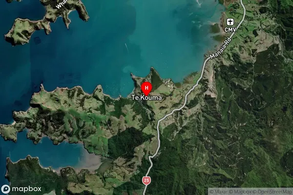
Locality in Town CoromandelTe Kouma Suburb Map (Satellite)
Country
Main Region in AU
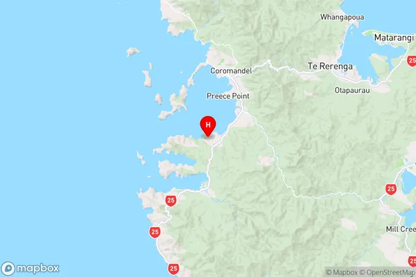
WaikatoTe Kouma Region Map
Coordinates
-36.8110032,175.4776681 (latitude/longitude)Distances
The distance from Te Kouma, Coromandel, Thames-Coromandel District to NZ Top 10 Cities