Waiau Area, Waiau Postcode(3581) & Map in Waiau
Waiau Area, Waiau Postcode(3581) & Map in Waiau, Thames-Coromandel District, New Zealand
Waiau, Thames-Coromandel District, New Zealand
Waiau Postcodes
Waiau Area (estimated)
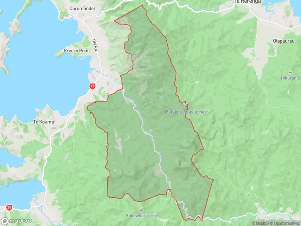
45.2 square kilometersWaiau Population (estimated)
29 people live in Waiau, Waikato, NZWaiau Suburb Area Map (Polygon)
Waiau Introduction
Waiau is a small town on the Coromandel Peninsula in Waikato, New Zealand. It is known for its beautiful beaches, stunning coastal scenery, and relaxed atmosphere. The town has a population of around 1,000 people and is a popular destination for tourists and locals alike. It is located about 100 kilometers north of Auckland and can be reached by car or bus.Region
Major City
Suburb Name
WaiauOther Name(s)
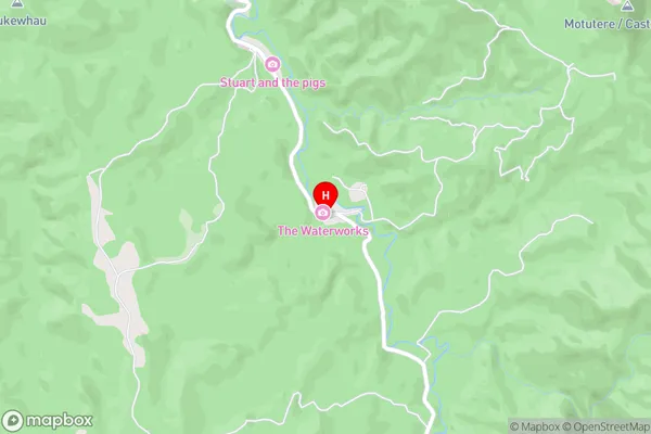
Coromandel HillsWaiau Area Map (Street)
Local Authority
Thames-Coromandel DistrictFull Address
Waiau, Thames-Coromandel District, New ZealandAddress Type
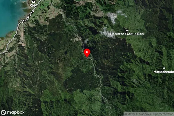
Locality in Town CoromandelWaiau Suburb Map (Satellite)
Country
Main Region in AU
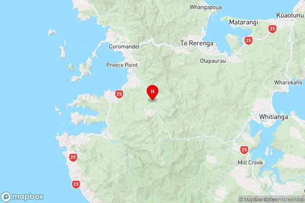
WaikatoWaiau Region Map
Coordinates
-36.8167851,175.5388188 (latitude/longitude)Distances
The distance from Waiau, Coromandel, Thames-Coromandel District to NZ Top 10 Cities