Port Charles Area, Port Charles Postcode(3500) & Map in Port Charles
Port Charles Area, Port Charles Postcode(3500) & Map in Port Charles, Thames-Coromandel District, New Zealand
Port Charles, Thames-Coromandel District, New Zealand
Port Charles Postcodes
Port Charles Area (estimated)
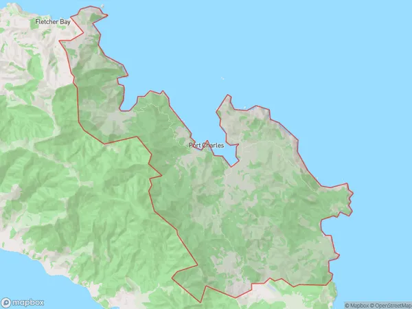
74.3 square kilometersPort Charles Population (estimated)
99 people live in Port Charles, Waikato, NZPort Charles Suburb Area Map (Polygon)
Port Charles Introduction
Port Charles is a small town on the Coromandel Peninsula in Waikato, New Zealand. It is known for its scenic beach, historic buildings, and fishing industry. The town has a population of around 200 people and is surrounded by beautiful natural scenery, including forests, waterfalls, and a rugged coastline.Region
Major City
Suburb Name
Port CharlesOther Name(s)
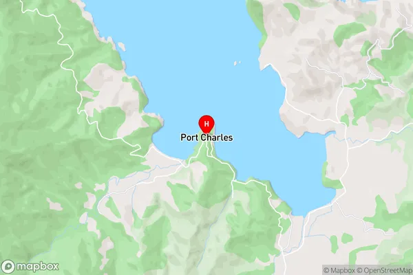
OhiniwaPort Charles Area Map (Street)
Local Authority
Thames-Coromandel DistrictFull Address
Port Charles, Thames-Coromandel District, New ZealandAddress Type
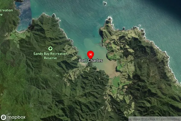
Locality in Town CoromandelPort Charles Suburb Map (Satellite)
Country
Main Region in AU
WaikatoPort Charles Region Map

Coordinates
-36.5245916,175.4640761 (latitude/longitude)Distances
The distance from Port Charles, Coromandel, Thames-Coromandel District to NZ Top 10 Cities