Otapaurau Area, Otapaurau Postcode(3500) & Map in Otapaurau
Otapaurau Area, Otapaurau Postcode(3500) & Map in Otapaurau, Thames-Coromandel District, New Zealand
Otapaurau, Thames-Coromandel District, New Zealand
Otapaurau Postcodes
Otapaurau Area (estimated)
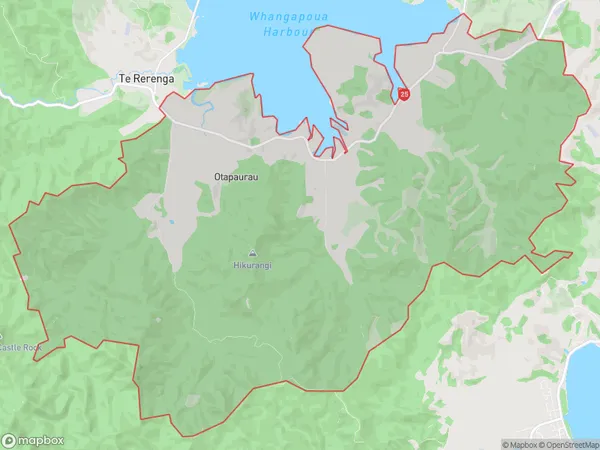
77.5 square kilometersOtapaurau Population (estimated)
48 people live in Otapaurau, Waikato, NZOtapaurau Suburb Area Map (Polygon)
Otapaurau Introduction
Otapaurau is a small town in the Coromandel Peninsula of Waikato, New Zealand. It is known for its stunning natural scenery, including the Otapaurau Falls and the surrounding forest. The town has a population of around 1,000 people and is a popular destination for outdoor activities such as hiking, fishing, and kayaking. It is also home to the Otapaurau Golf Club, which has a challenging 18-hole course.Region
Major City
Suburb Name
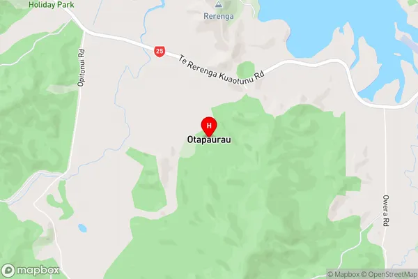
OtapaurauOtapaurau Area Map (Street)
Local Authority
Thames-Coromandel DistrictFull Address
Otapaurau, Thames-Coromandel District, New ZealandAddress Type
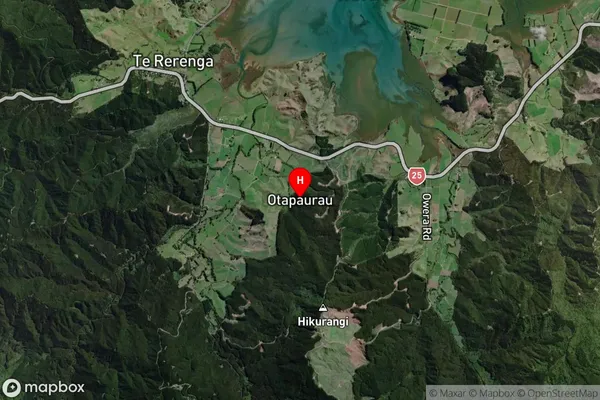
Locality in Town CoromandelOtapaurau Suburb Map (Satellite)
Country
Main Region in AU
WaikatoOtapaurau Region Map

Coordinates
-36.77265,175.62045 (latitude/longitude)Distances
The distance from Otapaurau, Coromandel, Thames-Coromandel District to NZ Top 10 Cities