Thames-Coromandel Suburbs & Region, Thames-Coromandel Map & Postcodes in Thames-Coromandel, Coromandel
Thames-Coromandel Postcodes, Thames-Coromandel ZipCodes, Thames-Coromandel , Thames-Coromandel Waikato, Thames-Coromandel Suburbs, Thames-Coromandel Region, Thames-Coromandel Map, Thames-Coromandel Area
Thames-Coromandel Region
Thames-Coromandel Suburbs
Thames-Coromandel is a district place type in Coromandel, NZ. It contains 36 suburbs or localities.Thames-Coromandel district
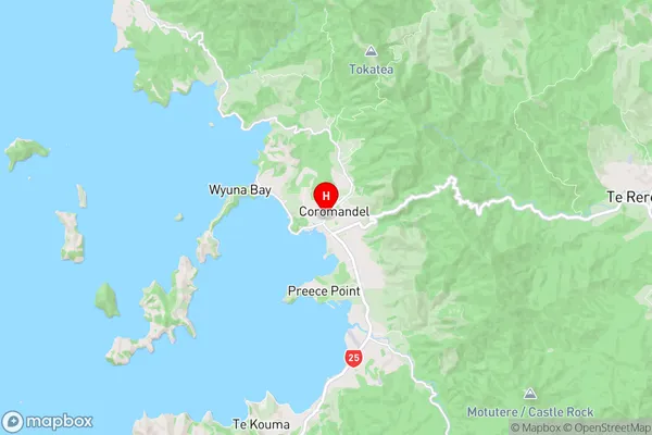
Thames-CoromandelThames-Coromandel Region Map
Thames-Coromandel Introduction
Waikato is a region in the North Island of New Zealand. It is located in the central part of the North Island, between the Bay of Plenty and the Waikato River. The region is known for its lush green landscapes, rolling hills, and picturesque towns. It is home to a large number of farms, as well as a variety of industries, including forestry, tourism, and manufacturing. The region is also home to a number of popular tourist attractions, including the Hobbiton Movie Set, the Waitomo Caves, and the Hamilton Gardens.Thames-Coromandel Region
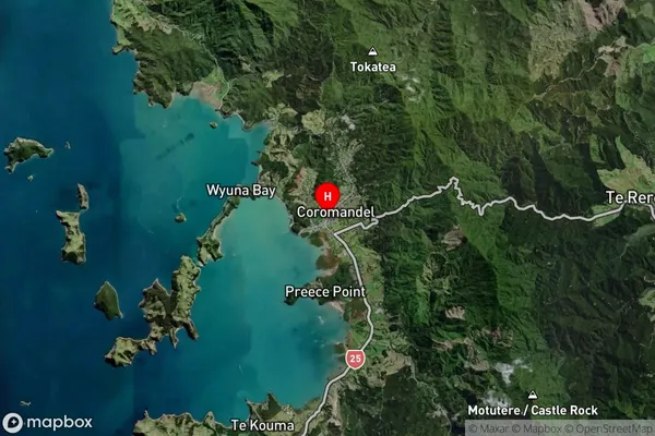
Thames-Coromandel Satellite Map
Full Address
Thames-Coromandel, CoromandelThames-Coromandel Coordinates
-36.7587094,175.4981213 (Latitude / Longitude)Thames-Coromandel Map in NZ
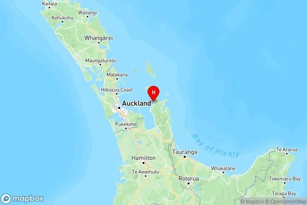
NZ Island
North IslandCountry
Thames-Coromandel Suburbs (Sort by Population)
Thames-Coromandel Suburbs (Sort in alphabetical)
Cooks Beach
Coroglen
Coromandel
Coromandel Coast
Hahei
Hikuai
Hikutaia
Hot Water Beach
Kaimarama
Kopu
Kuaotunu
Matarangi
Matatoki
Motutapere Island
Onemana
Opito Bay
Opoutere
Pauanui
Port Charles
Puriri
Tairua
Tapu
Te Kouma
Te Mata
Te Puru
Thames
Thornton Bay
Tuateawa
Waikawau
Waiomu
Whakatete Bay
Whangamata
Whangapoua
Whenuakite
Whiritoa
Whitianga