Tapu Suburbs & Region, Tapu Map & Postcodes in Tapu, Thames-Coromandel, Coromandel
Tapu Postcodes, Tapu ZipCodes, Tapu , Tapu Waikato, Tapu Suburbs, Tapu Region, Tapu Map, Tapu Area
Tapu Region
Tapu Suburbs
Tapu is a suburb place type in Thames-Coromandel, Coromandel, NZ. It contains 0 suburbs or localities.Tapu Postcodes
Tapu district
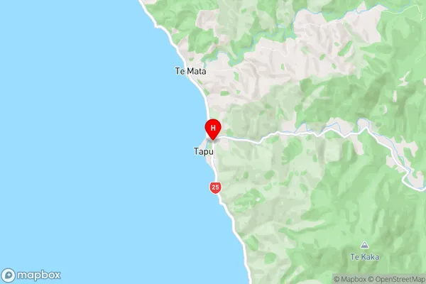
Thames-CoromandelTapu Region Map
Tapu Introduction
Tapu, Waikato, New Zealand, is a small rural town located on the banks of the Waikato River. It is known for its historic buildings, including the St. John's Anglican Church, which was built in 1876. The town also has a variety of recreational facilities, including a golf course, a swimming pool, and a sports field. Tapu is a popular destination for tourists and locals alike, with its peaceful atmosphere and stunning natural surroundings.Tapu Region
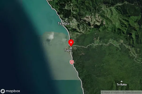
Tapu Satellite Map
Full Address
Tapu, Thames-Coromandel, CoromandelTapu Coordinates
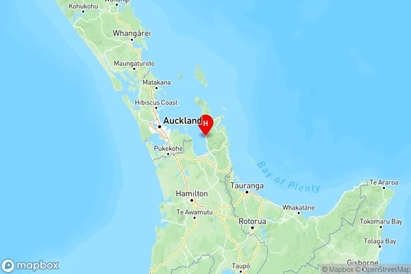
-36.9828001,175.5016305 (Latitude / Longitude)Tapu Map in NZ
NZ Island
North IslandCountry
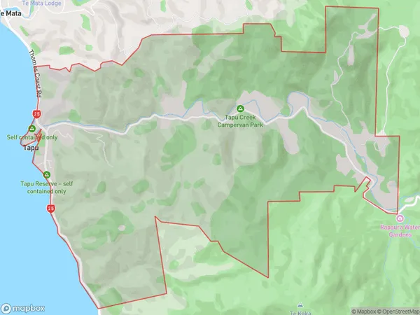
Tapu Area Map (Polygon)
Name
TapuAdditional Name
Local Authority
Thames-Coromandel District
Tapu Suburbs (Sort by Population)
Tapu suburb has around
13.7 square
kilometers.There are more than 263 people (estimated)
live in Tapu, , Waikato, New Zealand.