Tapu Area, Tapu Postcode(3575) & Map in Tapu
Tapu Area, Tapu Postcode(3575) & Map in Tapu, Thames-Coromandel District, New Zealand
Tapu, Thames-Coromandel District, New Zealand
Tapu Postcodes
Tapu Area (estimated)
13.7 square kilometersTapu Population (estimated)
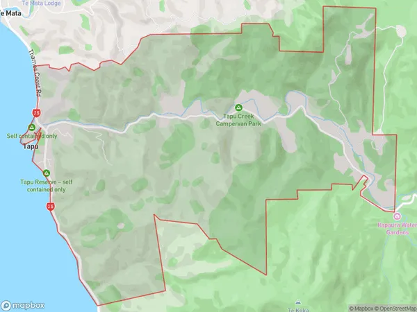
263 people live in Tapu, Waikato, NZTapu Suburb Area Map (Polygon)
Tapu Introduction
Tapu, Thames, Waikato, NZ, is a small town located on the banks of the Thames River. It is known for its historic buildings, including the Tapu Te Ranga Maori meeting house, and for its scenic surroundings, including the Tapu Te Ranga Nature Reserve. The town has a population of around 1,000 people and is a popular destination for tourists and outdoor enthusiasts.Region
0Suburb Name
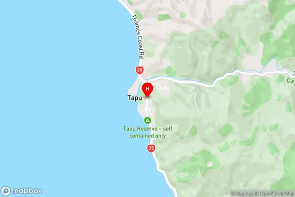
TapuTapu Area Map (Street)
Local Authority
Thames-Coromandel DistrictFull Address
Tapu, Thames-Coromandel District, New ZealandAddress Type
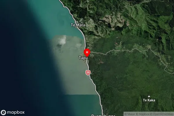
Locality in Town ThamesTapu Suburb Map (Satellite)
Country
Main Region in AU
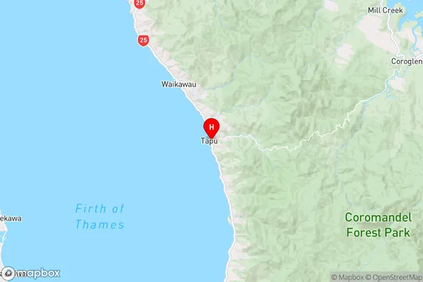
WaikatoTapu Region Map
Coordinates
-36.9847122,175.5016105 (latitude/longitude)Distances
The distance from Tapu, Thames, Thames-Coromandel District to NZ Top 10 Cities