Whenuakite Suburbs & Region, Whenuakite Map & Postcodes in Whenuakite, Thames-Coromandel, Coromandel
Whenuakite Postcodes, Whenuakite ZipCodes, Whenuakite , Whenuakite Waikato, Whenuakite Suburbs, Whenuakite Region, Whenuakite Map, Whenuakite Area
Whenuakite Region
Whenuakite Suburbs
Whenuakite is a suburb place type in Thames-Coromandel, Coromandel, NZ. It contains 0 suburbs or localities.Whenuakite district
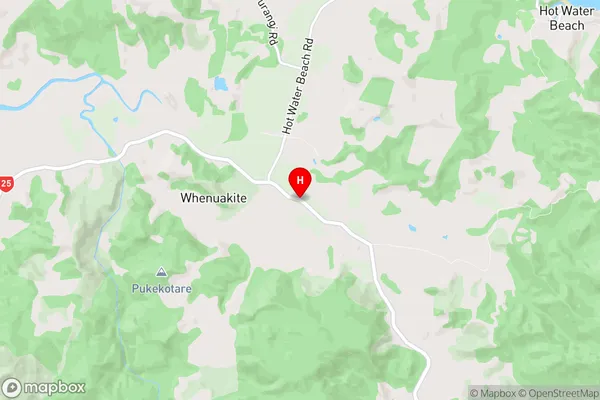
Thames-CoromandelWhenuakite Region Map

Whenuakite Introduction
Whenuakite is a small coastal settlement on the west coast of the North Island of New Zealand, located in the Waikato region. It is known for its stunning natural beauty, including a crystal-clear lagoon, rugged cliffs, and lush forests. The settlement has a population of around 500 people and is a popular destination for tourists and outdoor enthusiasts. The area is also home to a number of important archaeological sites, including the Whenuakite Island archaeological site, which is a significant Maori cultural site.Whenuakite Region
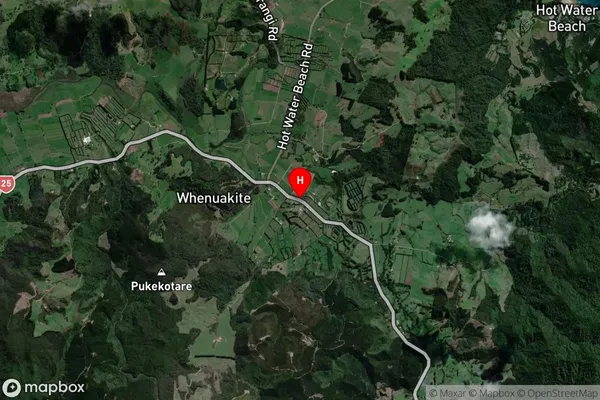
Whenuakite Satellite Map

Full Address
Whenuakite, Thames-Coromandel, CoromandelWhenuakite Coordinates
-36.9147861,175.7777541 (Latitude / Longitude)Whenuakite Map in NZ

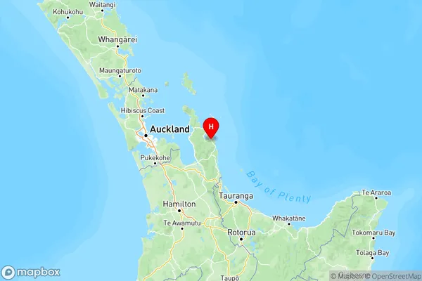
NZ Island
North IslandCountry