Onemana Suburbs & Region, Onemana Map & Postcodes in Onemana, Thames-Coromandel, Coromandel
Onemana Postcodes, Onemana ZipCodes, Onemana , Onemana Waikato, Onemana Suburbs, Onemana Region, Onemana Map, Onemana Area
Onemana Region
Onemana Suburbs
Onemana is a suburb place type in Thames-Coromandel, Coromandel, NZ. It contains 0 suburbs or localities.Onemana district
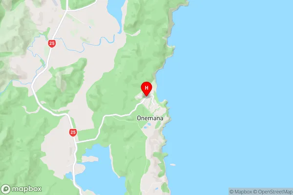
Thames-CoromandelOnemana Region Map
Onemana Introduction
Onemana is a small coastal village located in the Waikato region of New Zealand. It is situated on the shores of Lake Waikato and is known for its beautiful beaches, clear waters, and stunning natural scenery. The village has a population of around 300 people and is a popular destination for tourists and locals alike. The village has a variety of accommodation options, including a motel, a holiday park, and a campground. There are also several restaurants and cafes in the village, as well as a small supermarket and a medical center. The village is surrounded by a range of outdoor activities, including hiking, fishing, kayaking, and skiing. The nearby Waikato River is a popular spot for trout fishing, and the village is also close to the Mount Maunganui and Tauranga beaches, which are both popular surfing destinations.Onemana Region
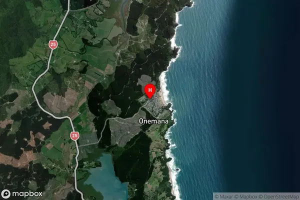
Onemana Satellite Map
Full Address
Onemana, Thames-Coromandel, CoromandelOnemana Coordinates
-37.1520297,175.8757564 (Latitude / Longitude)Onemana Map in NZ
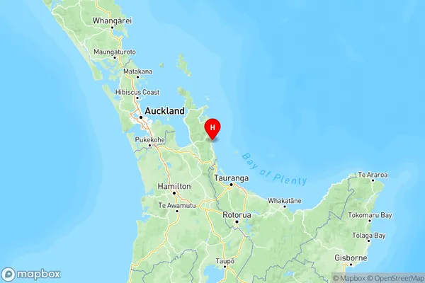
NZ Island
North IslandCountry
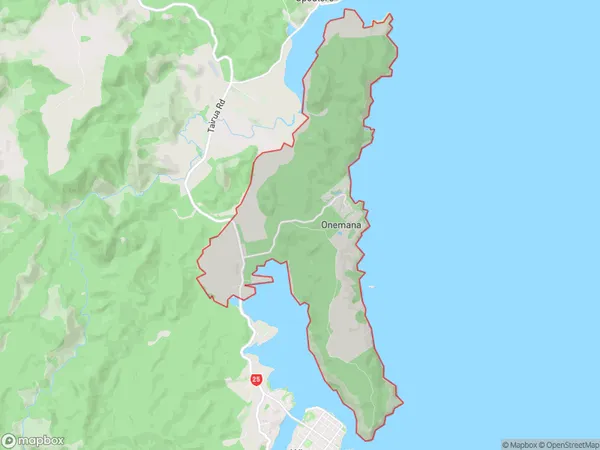
Onemana Area Map (Polygon)
Name
OnemanaAdditional Name
Local Authority
Thames-Coromandel District
Onemana Suburbs (Sort by Population)
Onemana suburb has around
23.8 square
kilometers.There are more than 194 people (estimated)
live in Onemana, , Waikato, New Zealand.