Whiritoa Suburbs & Region, Whiritoa Map & Postcodes in Whiritoa, Thames-Coromandel, Coromandel
Whiritoa Postcodes, Whiritoa ZipCodes, Whiritoa , Whiritoa Waikato, Whiritoa Suburbs, Whiritoa Region, Whiritoa Map, Whiritoa Area
Whiritoa Region (Waiharakeke Region)
Whiritoa Suburbs
Whiritoa is a suburb place type in Thames-Coromandel, Coromandel, NZ. It contains 0 suburbs or localities.Whiritoa district
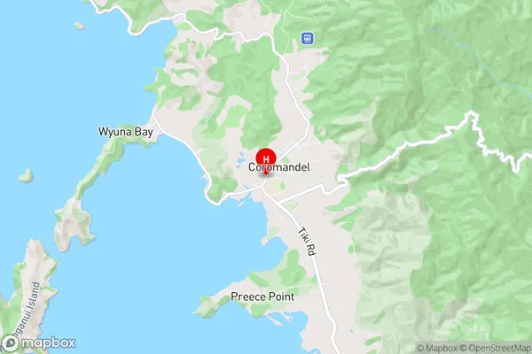
Thames-CoromandelWhiritoa Region Map
Whiritoa Introduction
Whiritoa is a small coastal settlement located in the Waikato region of New Zealand. It is known for its stunning natural beauty, including a long white sandy beach, crystal-clear waters, and rugged cliffs. The area is popular with surfers, swimmers, and nature lovers, and there are several walking and hiking trails nearby. Whiritoa also has a small community with a school, a post office, and a few shops. The settlement is surrounded by farmland and has a peaceful and relaxed atmosphere.Whiritoa Region
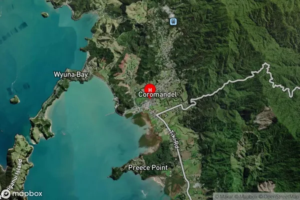
Whiritoa Satellite Map
Full Address
Whiritoa, Thames-Coromandel, CoromandelWhiritoa Coordinates
-36.7587094,175.4981213 (Latitude / Longitude)Whiritoa Map in NZ
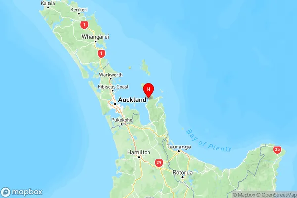
NZ Island
North IslandCountry
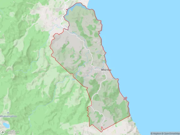
Whiritoa Area Map (Polygon)
Name
WhiritoaAdditional Name
WaiharakekeLocal Authority
Hauraki District
Whiritoa Suburbs (Sort by Population)
Whiritoa also known as Waiharakeke. Whiritoa suburb has around
53.2 square
kilometers.There are more than 373 people (estimated)
live in Whiritoa, , Waikato, New Zealand.