Whiritoa Area, Whiritoa Postcode & Map in Whiritoa
Whiritoa Area, Whiritoa Postcode & Map in Whiritoa, Hauraki District, New Zealand
Whiritoa, Hauraki District, New Zealand
Whiritoa Area (estimated)
53.2 square kilometersWhiritoa Population (estimated)
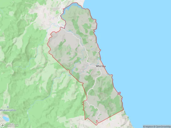
373 people live in Whiritoa, Waikato, NZWhiritoa Suburb Area Map (Polygon)
Whiritoa Introduction
Whiritoa is a small beachside community in Waihi, Waikato, New Zealand. It is well-known for its beautiful beach, natural rock formations, and stunning coastal views. The area is popular with tourists and locals alike and offers a range of activities, including surfing, fishing, and hiking. Whiritoa also has a rich cultural heritage, with several historic buildings and sites located throughout the community.Region
Major City
Suburb Name
WhiritoaOther Name(s)
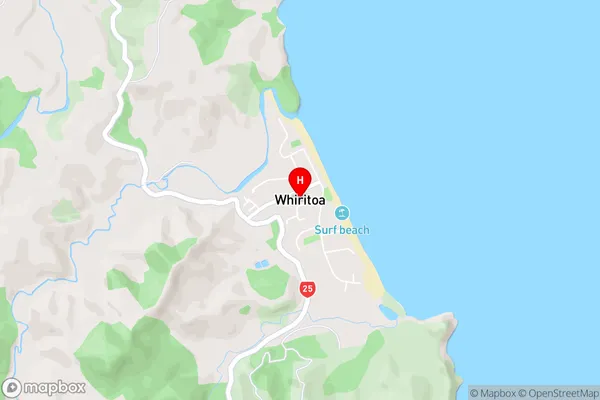
WaiharakekeWhiritoa Area Map (Street)
Local Authority
Hauraki DistrictFull Address
Whiritoa, Hauraki District, New ZealandAddress Type
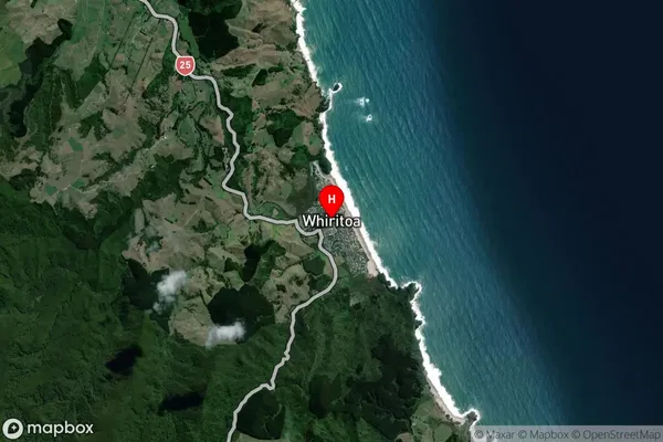
Locality in Town WaihiWhiritoa Suburb Map (Satellite)
Country
Main Region in AU
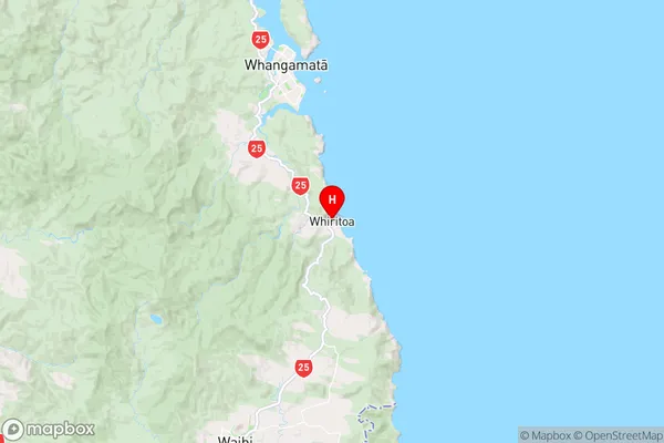
WaikatoWhiritoa Region Map
Coordinates
-37.2836153,175.9004113 (latitude/longitude)Distances
The distance from Whiritoa, Waihi, Hauraki District to NZ Top 10 Cities