Hikuai Suburbs & Region, Hikuai Map & Postcodes in Hikuai, Thames-Coromandel, Coromandel
Hikuai Postcodes, Hikuai ZipCodes, Hikuai , Hikuai Waikato, Hikuai Suburbs, Hikuai Region, Hikuai Map, Hikuai Area
Hikuai Region (Duck Creek, Puketui Region)
Hikuai Suburbs
Hikuai is a suburb place type in Thames-Coromandel, Coromandel, NZ. It contains 3 suburbs or localities.Hikuai Postcodes
Hikuai district
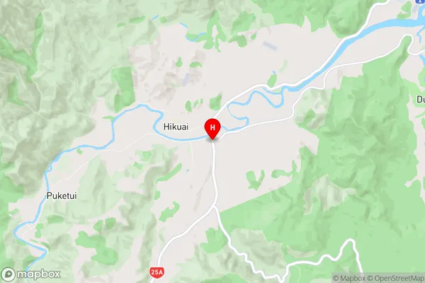
Thames-CoromandelHikuai Region Map
Hikuai Introduction
Hikuai is a small rural town in the Waikato region of New Zealand. It is located on State Highway 1, approximately 35 kilometers south of Hamilton. The town has a population of around 1,000 people and is known for its scenic surroundings, including the Hikuai River and the Hikuai Forest Park. The town has a primary school, a post office, a supermarket, and a few cafes and restaurants. Hikuai is also home to a number of historic buildings, including the Hikuai Hotel, which was built in 1878. The town is surrounded by farmland and has a peaceful, rural atmosphere. It is a popular destination for outdoor enthusiasts, with many walking and hiking trails in the surrounding area.Hikuai Region
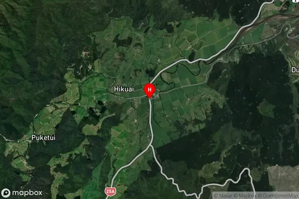
Hikuai Satellite Map
Full Address
Hikuai, Thames-Coromandel, CoromandelHikuai Coordinates
-37.0756666,175.7830149 (Latitude / Longitude)Hikuai Map in NZ
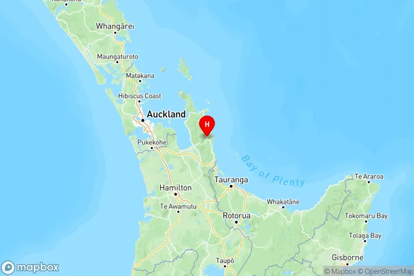
NZ Island
North IslandCountry
Hikuai Area Map (Polygon)
Not available for nowName
HikuaiAdditional Name
Duck Creek, PuketuiLocal Authority
Thames-Coromandel District