Slipper Island (Whakahau) Area, Slipper Island (Whakahau) Postcode(3500) & Map in Slipper Island (Whakahau)
Slipper Island (Whakahau) Area, Slipper Island (Whakahau) Postcode(3500) & Map in Slipper Island (Whakahau), Thames-Coromandel District, New Zealand
Slipper Island (Whakahau), Thames-Coromandel District, New Zealand
Slipper Island (Whakahau) Postcodes
Slipper Island (Whakahau) Area (estimated)
3.0 square kilometersSlipper Island (Whakahau) Population (estimated)
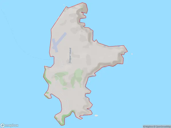
3 people live in Slipper Island (Whakahau), Waikato, NZSlipper Island (Whakahau) Suburb Area Map (Polygon)
Slipper Island (Whakahau) Introduction
Slipper Island is a small, uninhabited island located in the Hikuai River, Waikato, New Zealand. It is known for its unique geological features, including a large number of fossilized slipper shells, which gave the island its name. The island is surrounded by scenic river views and is a popular spot for picnics and nature walks. It is also home to a variety of bird species, including the rare New Zealand bittern. Slipper Island is accessible by boat from the nearby town of Hikuai.Region
0Suburb Name
Slipper Island (Whakahau)Other Name(s)
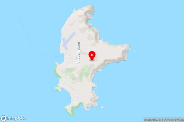
Slipper Island, WhakahauSlipper Island (Whakahau) Area Map (Street)
Local Authority
Thames-Coromandel DistrictFull Address
Slipper Island (Whakahau), Thames-Coromandel District, New ZealandAddress Type
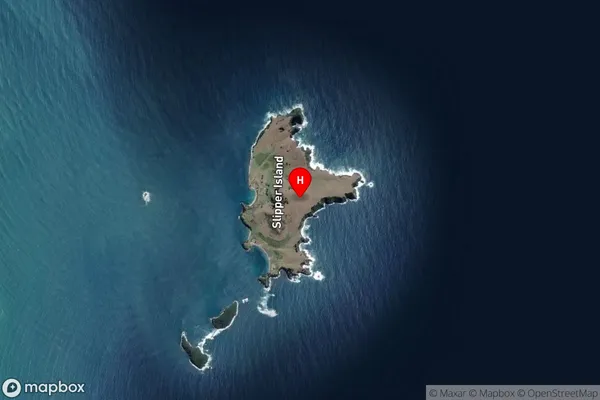
Island in Major Locality HikuaiSlipper Island (Whakahau) Suburb Map (Satellite)
Country
Main Region in AU
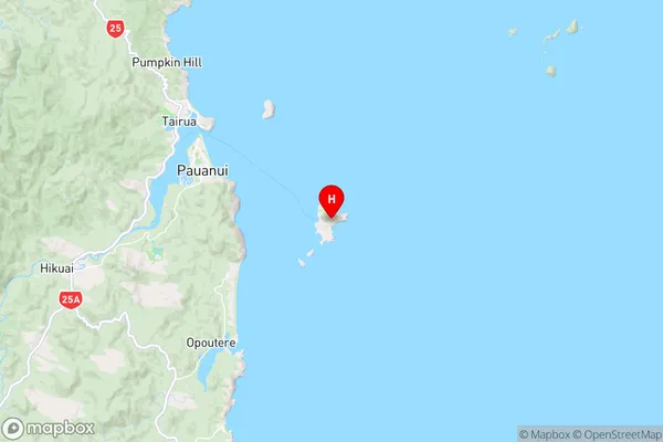
WaikatoSlipper Island (Whakahau) Region Map
Coordinates
-37.0493331,175.944856011841 (latitude/longitude)Distances
The distance from Slipper Island (Whakahau), Hikuai, Thames-Coromandel District to NZ Top 10 Cities