Pukepoto Area, Pukepoto Postcode(3579) & Map in Pukepoto
Pukepoto Area, Pukepoto Postcode(3579) & Map in Pukepoto, Thames-Coromandel District, New Zealand
Pukepoto, Thames-Coromandel District, New Zealand
Pukepoto Postcodes
Pukepoto Area (estimated)
23.7 square kilometersPukepoto Population (estimated)
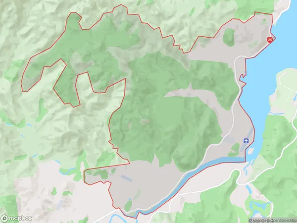
19 people live in Pukepoto, Waikato, NZPukepoto Suburb Area Map (Polygon)
Pukepoto Introduction
Pukepoto is a small rural community in the Hikuai District of Waikato, New Zealand. It is located on State Highway 1, approximately 30 km south of Hamilton. The community has a population of around 100 people and is known for its scenic rural setting and historic church. The area was first settled by Māori in the 18th century and the church was built in the 19th century. Pukepoto also has a small primary school and a community hall.Region
0Suburb Name
PukepotoOther Name(s)
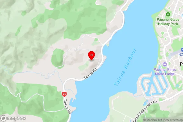
Duck Creek, Tairua RuralPukepoto Area Map (Street)
Local Authority
Thames-Coromandel DistrictFull Address
Pukepoto, Thames-Coromandel District, New ZealandAddress Type
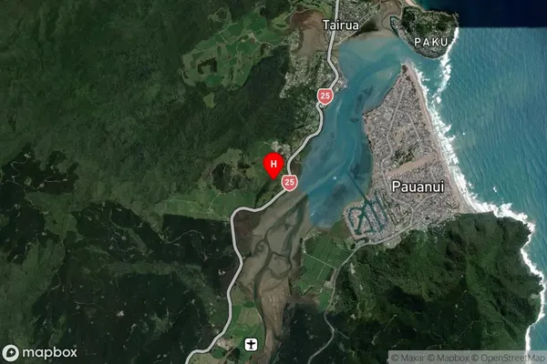
Locality in Major Locality HikuaiPukepoto Suburb Map (Satellite)
Country
Main Region in AU
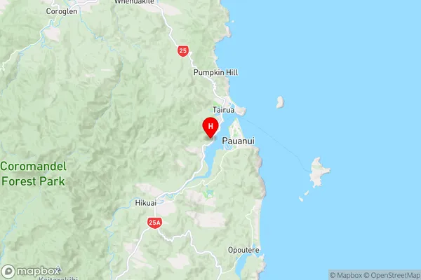
WaikatoPukepoto Region Map
Coordinates
-37.02358,175.83755 (latitude/longitude)Distances
The distance from Pukepoto, Hikuai, Thames-Coromandel District to NZ Top 10 Cities