Pauanui Suburbs & Region, Pauanui Map & Postcodes in Pauanui, Thames-Coromandel, Coromandel
Pauanui Postcodes, Pauanui ZipCodes, Pauanui , Pauanui Waikato, Pauanui Suburbs, Pauanui Region, Pauanui Map, Pauanui Area
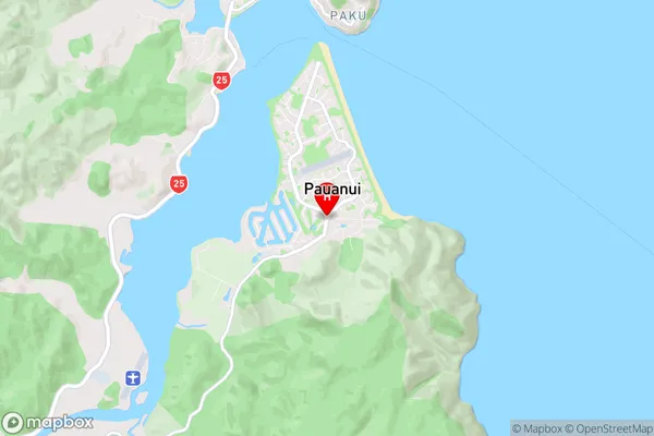
Pauanui Region (Duck Creek Region)
Pauanui Suburbs
Pauanui is a suburb place type in Thames-Coromandel, Coromandel, NZ. It contains 1 suburbs or localities.Pauanui Postcodes
Pauanui district
Thames-CoromandelPauanui Introduction
Pauanui is a popular holiday destination on the North Island of New Zealand, known for its stunning beaches, vibrant culture, and outdoor activities. It is situated on the southern shores of Lake Taupo and is surrounded by picturesque mountains and forests. The town has a population of around 40,000 people and is home to a variety of attractions, including the Pauanui Beach Resort, the Pauanui Waterpark, and the Pauanui Mountain Bike Park. Visitors can enjoy swimming, surfing, kayaking, and hiking in the area, as well as exploring the local museums and galleries. Pauanui is also a popular filming location, with several movies and TV shows being shot in the town over the years.Pauanui Region
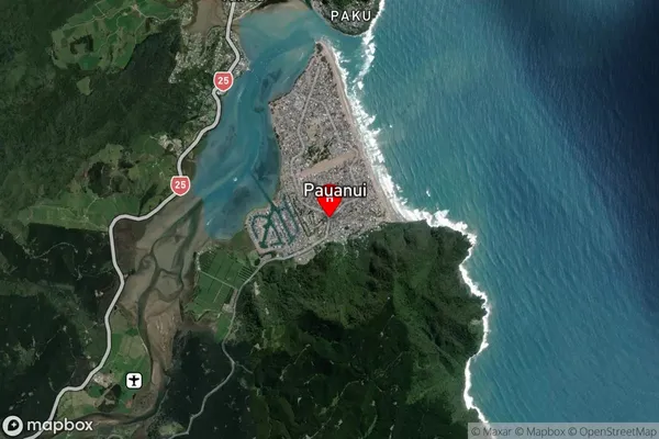
Pauanui Satellite Map

Full Address
Pauanui, Thames-Coromandel, CoromandelPauanui Coordinates
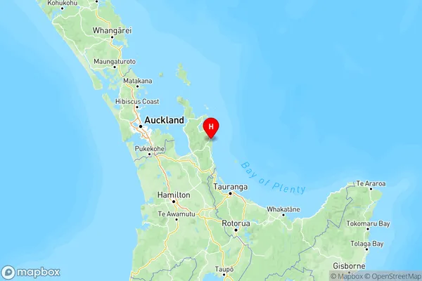
-37.0279409,175.8638768 (Latitude / Longitude)Pauanui Map in NZ

NZ Island
North IslandCountry
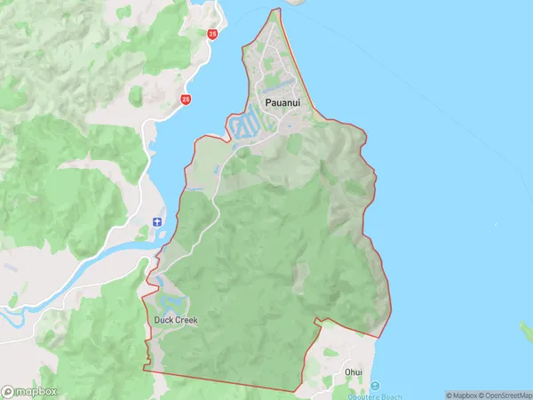
Pauanui Area Map (Polygon)

Name
PauanuiAdditional Name
Duck CreekLocal Authority
Thames-Coromandel District
Pauanui Suburbs (Sort by Population)
Pauanui
Pauanui - 1155
