Pauanui Area, Pauanui Postcode(3546) & Map in Pauanui
Pauanui Area, Pauanui Postcode(3546) & Map in Pauanui, Thames-Coromandel District, New Zealand
Pauanui, Thames-Coromandel District, New Zealand
Pauanui Postcodes
Pauanui Area (estimated)
32.6 square kilometersPauanui Population (estimated)
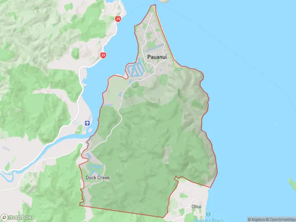
1155 people live in Pauanui, Waikato, NZPauanui Suburb Area Map (Polygon)
Pauanui Introduction
Pauanui is a popular beach town on the Bay of Islands in New Zealand, known for its stunning beaches, clear waters, and vibrant nightlife. It is a popular destination for tourists and locals alike, with a variety of activities and attractions to enjoy, including surfing, swimming, fishing, and hiking. The town also has a rich history and culture, with a number of historic buildings and museums to explore.Region
0Suburb Name
PauanuiOther Name(s)
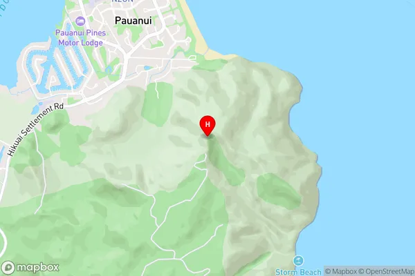
Duck CreekPauanui Area Map (Street)
Local Authority
Thames-Coromandel DistrictFull Address
Pauanui, Thames-Coromandel District, New ZealandAddress Type
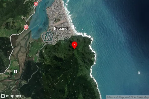
Locality in Town PauanuiPauanui Suburb Map (Satellite)
Country
Main Region in AU
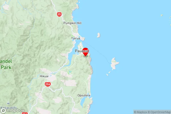
WaikatoPauanui Region Map
Coordinates
-37.03594,175.87394 (latitude/longitude)Distances
The distance from Pauanui, Pauanui, Thames-Coromandel District to NZ Top 10 Cities