Whangamata Suburbs & Region, Whangamata Map & Postcodes in Whangamata, Thames-Coromandel, Coromandel
Whangamata Postcodes, Whangamata ZipCodes, Whangamata , Whangamata Waikato, Whangamata Suburbs, Whangamata Region, Whangamata Map, Whangamata Area
Whangamata Region (Duck Creek, Parakiwai, Wharekawa Region)
Whangamata Suburbs
Whangamata is a suburb place type in Thames-Coromandel, Coromandel, NZ. It contains 3 suburbs or localities.Whangamata district
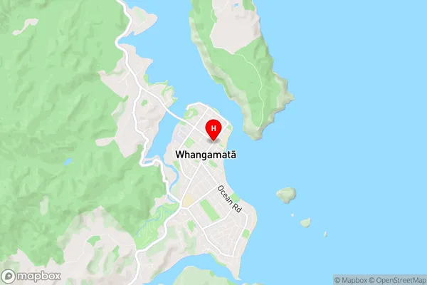
Thames-CoromandelWhangamata Region Map
Whangamata Introduction
Whangamata is a popular holiday destination on the Coromandel Peninsula in New Zealand's Waikato region. It is known for its beautiful beaches, clear waters, and stunning natural scenery. The town has a population of around 10,000 people and is a popular base for exploring the surrounding area, including the Coromandel Forest Park and the Hot Water Beach. Whangamata also has a variety of recreational activities, including golf, fishing, and hiking. The town is surrounded by stunning coastal scenery and is located just a short drive from Auckland.Whangamata Region
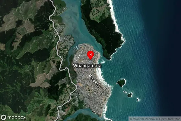
Whangamata Satellite Map
Full Address
Whangamata, Thames-Coromandel, CoromandelWhangamata Coordinates
-37.2040129,175.8738507 (Latitude / Longitude)Whangamata Map in NZ
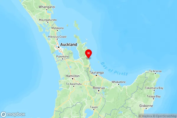
NZ Island
North IslandCountry
Whangamata Area Map (Polygon)
Not available for nowName
WhangamataAdditional Name
Duck Creek, Parakiwai, WharekawaLocal Authority
Thames-Coromandel District
Whangamata Suburbs (Sort by Population)
Whangamata
Whangamata - 4738Onemana
Onemana - 194Opoutere
Opoutere - 160