Kaimarama Suburbs & Region, Kaimarama Map & Postcodes in Kaimarama, Thames-Coromandel, Coromandel
Kaimarama Postcodes, Kaimarama ZipCodes, Kaimarama , Kaimarama Waikato, Kaimarama Suburbs, Kaimarama Region, Kaimarama Map, Kaimarama Area
Kaimarama Region (Coromandel Hills, Mahakirau, Mill Creek Region)
Kaimarama Suburbs
Kaimarama is a suburb place type in Thames-Coromandel, Coromandel, NZ. It contains 0 suburbs or localities.Kaimarama district
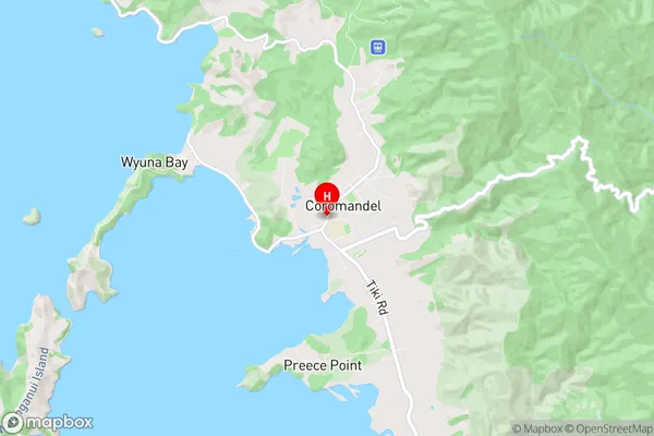
Thames-CoromandelKaimarama Region Map
Kaimarama Introduction
Kaimarama is a small coastal town in Waikato, New Zealand. It is well-known for its stunning beaches, clear waters, and stunning coastal scenery. The town has a population of around 1,000 people and is located on the eastern coast of the North Island, about 30 minutes' drive from Hamilton. Kaimarama has a rich history and was once a significant fishing village. The town is surrounded by beautiful native bush and has several walking and hiking trails. The Kaimarama Beach is a popular spot for swimming, surfing, and fishing, and the nearby Kaimarama Forest Park is a great place to explore the natural beauty of the region.Kaimarama Region
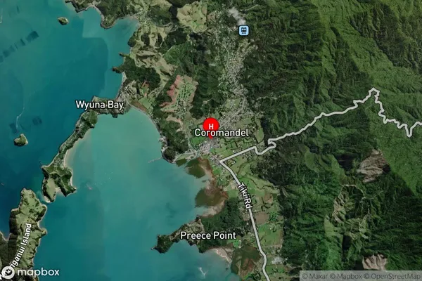
Kaimarama Satellite Map
Full Address
Kaimarama, Thames-Coromandel, CoromandelKaimarama Coordinates
-36.7587094,175.4981213 (Latitude / Longitude)Kaimarama Map in NZ
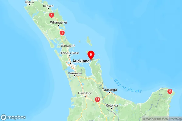
NZ Island
North IslandCountry
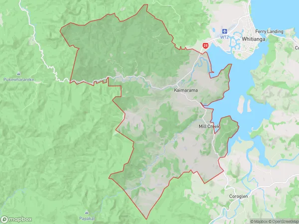
Kaimarama Area Map (Polygon)
Name
KaimaramaAdditional Name
Coromandel Hills, Mahakirau, Mill CreekLocal Authority
Thames-Coromandel District
Kaimarama Suburbs (Sort by Population)
Kaimarama also known as Coromandel Hills, Mahakirau, Mill Creek. Kaimarama suburb has around
89.6 square
kilometers.There are more than 448 people (estimated)
live in Kaimarama, , Waikato, New Zealand.