Whakatete Bay Suburbs & Region, Whakatete Bay Map & Postcodes in Whakatete Bay, Thames-Coromandel, Coromandel
Whakatete Bay Postcodes, Whakatete Bay ZipCodes, Whakatete Bay , Whakatete Bay Waikato, Whakatete Bay Suburbs, Whakatete Bay Region, Whakatete Bay Map, Whakatete Bay Area
Whakatete Bay Region (Whakatete Region)
Whakatete Bay Suburbs
Whakatete Bay is a suburb place type in Thames-Coromandel, Coromandel, NZ. It contains 0 suburbs or localities.Whakatete Bay district
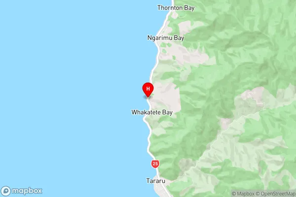
Thames-CoromandelWhakatete Bay Region Map
Whakatete Bay Introduction
Whakatete Bay is a large bay located in the Waikato region of New Zealand's North Island. It is known for its stunning natural beauty, including rugged cliffs, sandy beaches, and a variety of wildlife. The bay is a popular destination for fishing, boating, and swimming, and is home to several small settlements and farms. The bay is also home to the Whakatete Island Marine Reserve, which is a protected area that covers over 100 hectares of ocean and coastline. The reserve is a great place to see a variety of marine life, including whales, dolphins, and seals.Whakatete Bay Region
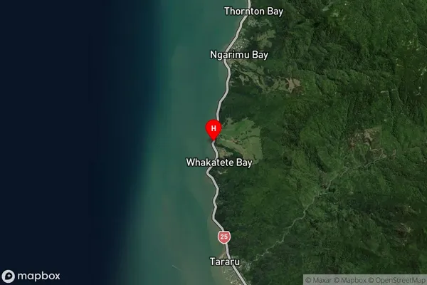
Whakatete Bay Satellite Map
Full Address
Whakatete Bay, Thames-Coromandel, CoromandelWhakatete Bay Coordinates
-37.0875734,175.5157962 (Latitude / Longitude)Whakatete Bay Map in NZ
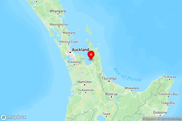
NZ Island
North IslandCountry
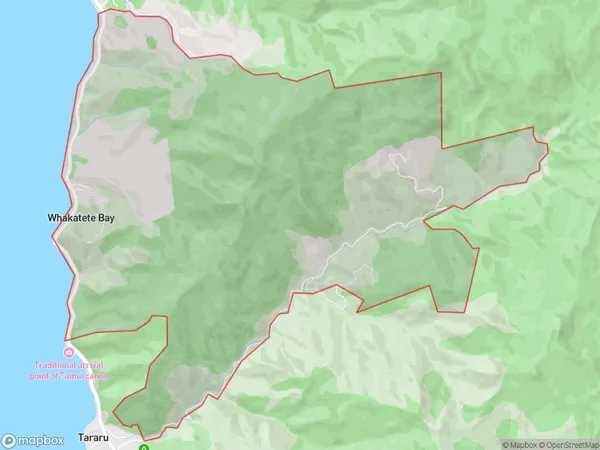
Whakatete Bay Area Map (Polygon)
Name
Whakatete BayAdditional Name
WhakateteLocal Authority
Thames-Coromandel District
Whakatete Bay Suburbs (Sort by Population)
Whakatete Bay also known as Whakatete. Whakatete Bay suburb has around
12.5 square
kilometers.There are more than 71 people (estimated)
live in Whakatete Bay, , Waikato, New Zealand.