Whakatete Bay Area, Whakatete Bay Postcode(3500) & Map in Whakatete Bay
Whakatete Bay Area, Whakatete Bay Postcode(3500) & Map in Whakatete Bay, Thames-Coromandel District, New Zealand
Whakatete Bay, Thames-Coromandel District, New Zealand
Whakatete Bay Postcodes
Whakatete Bay Area (estimated)
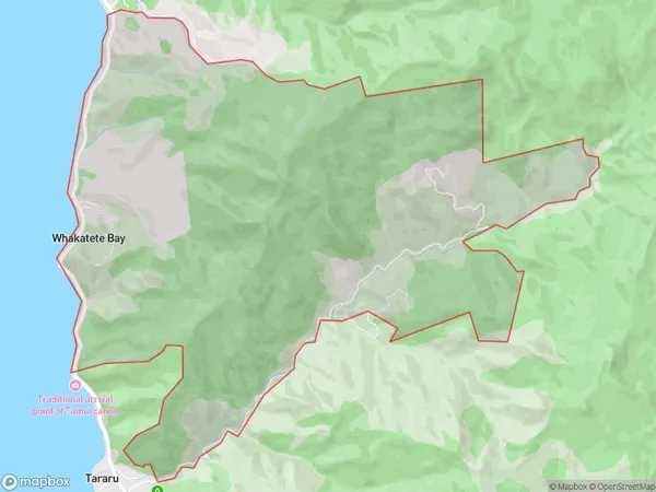
12.5 square kilometersWhakatete Bay Population (estimated)
71 people live in Whakatete Bay, Waikato, NZWhakatete Bay Suburb Area Map (Polygon)
Whakatete Bay Introduction
Whakatete Bay is a popular holiday destination in Thames, Waikato, New Zealand. It is known for its sandy beaches, clear waters, and stunning coastal scenery. The bay is also home to a variety of wildlife, including penguins, dolphins, and seals. Visitors can enjoy swimming, fishing, kayaking, and hiking in the area, and there are also several restaurants and accommodations to choose from.Region
0Suburb Name
Whakatete BayOther Name(s)
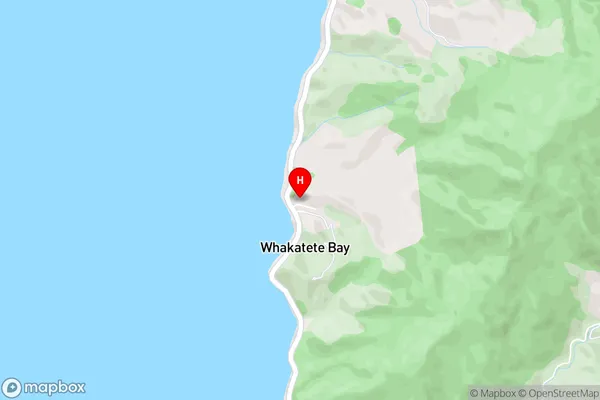
WhakateteWhakatete Bay Area Map (Street)
Local Authority
Thames-Coromandel DistrictFull Address
Whakatete Bay, Thames-Coromandel District, New ZealandAddress Type
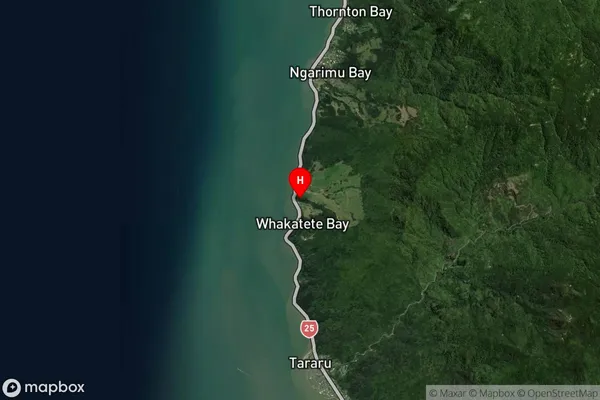
Locality in Town ThamesWhakatete Bay Suburb Map (Satellite)
Country
Main Region in AU
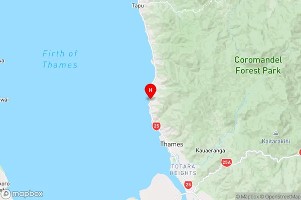
WaikatoWhakatete Bay Region Map
Coordinates
-37.0881339,175.5167485 (latitude/longitude)Distances
The distance from Whakatete Bay, Thames, Thames-Coromandel District to NZ Top 10 Cities