Whitianga Suburbs & Region, Whitianga Map & Postcodes in Whitianga, Thames-Coromandel, Coromandel
Whitianga Postcodes, Whitianga ZipCodes, Whitianga , Whitianga Waikato, Whitianga Suburbs, Whitianga Region, Whitianga Map, Whitianga Area
Whitianga Region
Whitianga Suburbs
Whitianga is a suburb place type in Thames-Coromandel, Coromandel, NZ. It contains 16 suburbs or localities.Whitianga district
Thames-CoromandelWhitianga Introduction
Whitianga is a popular holiday destination on the Coromandel Peninsula in New Zealand. It is known for its beautiful beaches, clear waters, and stunning natural scenery. The town has a population of around 10,000 people and is located at the northern end of the peninsula, about 120 kilometers from Auckland. Whitianga is a popular destination for fishing, diving, snorkeling, and hiking, and there are several restaurants and cafes to enjoy. The town also has a historic wharf and a number of museums and galleries.Whitianga Region
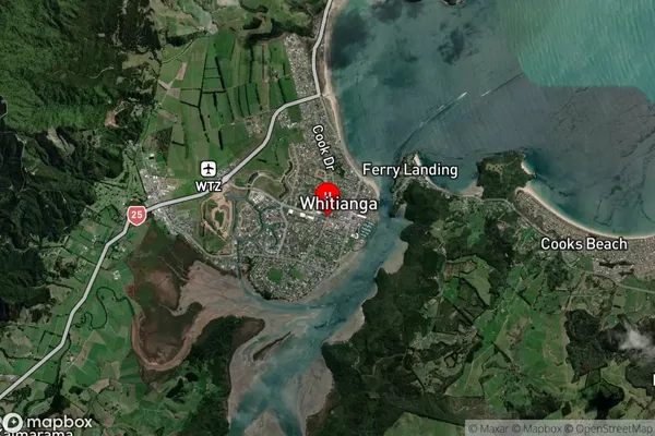
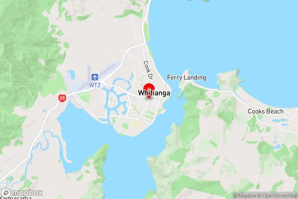
Whitianga Satellite Map

Full Address
Whitianga, Thames-Coromandel, CoromandelWhitianga Coordinates
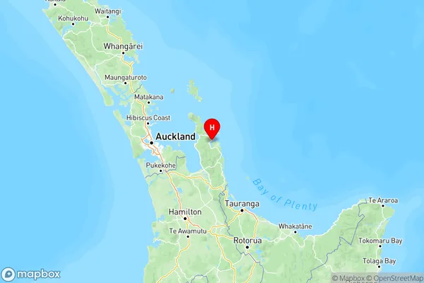
-36.8350132,175.7007296 (Latitude / Longitude)Whitianga Map in NZ

NZ Island
North IslandCountry
Whitianga Suburbs (Sort by Population)
Whitianga
Whitianga - 6163Cooks Beach
Cooks Beach - 632Matarangi
Matarangi - 630Hahei
Hahei - 459Kaimarama
Kaimarama - 448Whenuakite
Whenuakite - 356Kuaotunu
Kuaotunu - 325Coroglen
Coroglen - 304Wharekaho
Wharekaho - 260Kuaotunu West
Kuaotunu West - 174Hot Water Beach
Hot Water Beach - 140Opito Bay
Opito Bay - 109Purangi
Purangi - 72Pumpkin Hill
Pumpkin Hill - 71Ferry Landing
Ferry Landing - 56Waitaia Bay
Waitaia Bay - 11
