Ferry Landing Area, Ferry Landing Postcode(3510) & Map in Ferry Landing
Ferry Landing Area, Ferry Landing Postcode(3510) & Map in Ferry Landing, Thames-Coromandel District, New Zealand
Ferry Landing, Thames-Coromandel District, New Zealand
Ferry Landing Postcodes
Ferry Landing Area (estimated)
0.8 square kilometersFerry Landing Population (estimated)
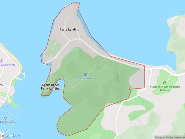
56 people live in Ferry Landing, Waikato, NZFerry Landing Suburb Area Map (Polygon)
Ferry Landing Introduction
Ferry Landing is a small settlement on the banks of the Waikato River in Waikato, New Zealand. It is a popular spot for fishing and boating and is also home to a historic ferry wharf. The area has a rich history and was once a major hub for the transport of goods and people along the Waikato River.Region
0Suburb Name
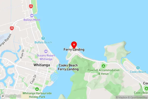
Ferry LandingFerry Landing Area Map (Street)
Local Authority
Thames-Coromandel DistrictFull Address
Ferry Landing, Thames-Coromandel District, New ZealandAddress Type
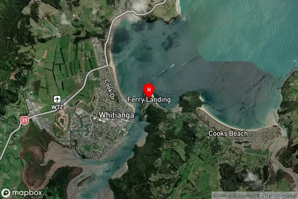
Locality in Town WhitiangaFerry Landing Suburb Map (Satellite)
Country
Main Region in AU
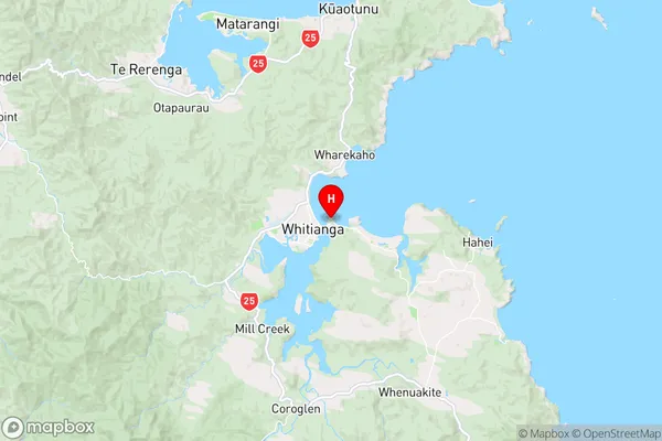
WaikatoFerry Landing Region Map
Coordinates
-36.8288976,175.7137249 (latitude/longitude)Distances
The distance from Ferry Landing, Whitianga, Thames-Coromandel District to NZ Top 10 Cities