Waitaia Bay Area, Waitaia Bay Postcode(3500) & Map in Waitaia Bay
Waitaia Bay Area, Waitaia Bay Postcode(3500) & Map in Waitaia Bay, Thames-Coromandel District, New Zealand
Waitaia Bay, Thames-Coromandel District, New Zealand
Waitaia Bay Postcodes
Waitaia Bay Area (estimated)
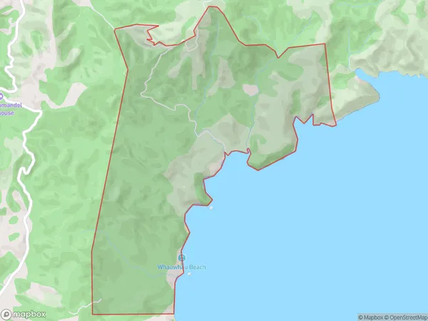
7.8 square kilometersWaitaia Bay Population (estimated)
11 people live in Waitaia Bay, Waikato, NZWaitaia Bay Suburb Area Map (Polygon)
Waitaia Bay Introduction
Waitaia Bay is a popular beach destination in Whitianga, Waikato, New Zealand. It is known for its clear waters, sandy beaches, and stunning coastal views. The bay is a popular spot for swimming, snorkeling, and kayaking, and it is also home to a small community of residents. The bay is surrounded by native bush and farmland, and it is a short drive from the town of Whitianga.Region
0Suburb Name
Waitaia BayOther Name(s)
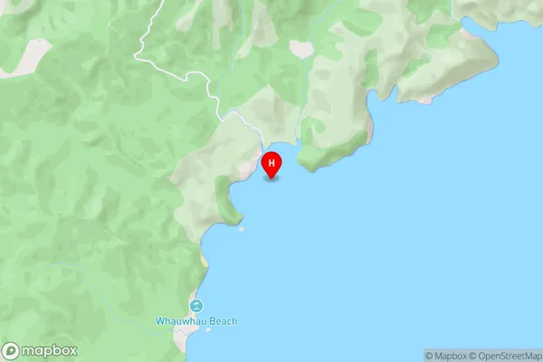
Simpsons BeachWaitaia Bay Area Map (Street)
Local Authority
Thames-Coromandel DistrictFull Address
Waitaia Bay, Thames-Coromandel District, New ZealandAddress Type
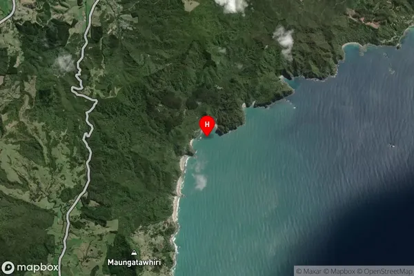
Locality in Town WhitiangaWaitaia Bay Suburb Map (Satellite)
Country
Main Region in AU
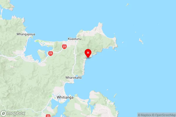
WaikatoWaitaia Bay Region Map
Coordinates
-36.760295,175.7561091 (latitude/longitude)Distances
The distance from Waitaia Bay, Whitianga, Thames-Coromandel District to NZ Top 10 Cities