Hahei Area, Hahei Postcode(3591) & Map in Hahei
Hahei Area, Hahei Postcode(3591) & Map in Hahei, Thames-Coromandel District, New Zealand
Hahei, Thames-Coromandel District, New Zealand
Hahei Postcodes
Hahei Area (estimated)
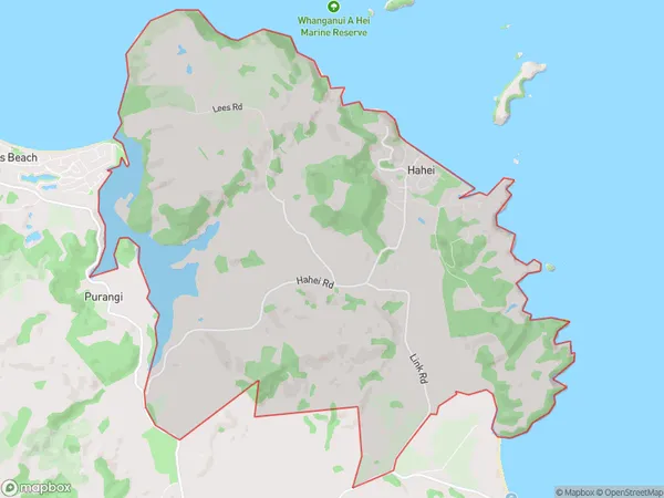
30.2 square kilometersHahei Population (estimated)
459 people live in Hahei, Waikato, NZHahei Suburb Area Map (Polygon)
Hahei Introduction
Hahei is a small coastal town in Waikato, New Zealand. It is well-known for its beautiful beaches, clear waters, and stunning coastal scenery. The town has a population of around 3,500 people and is a popular destination for tourists and locals alike. Hahei also has a rich cultural heritage, with many historic buildings and sites located throughout the town.Region
0Suburb Name
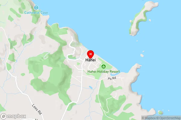
HaheiHahei Area Map (Street)
Local Authority
Thames-Coromandel DistrictFull Address
Hahei, Thames-Coromandel District, New ZealandAddress Type
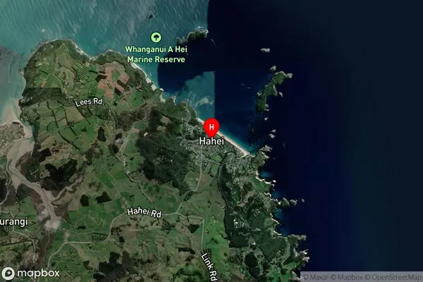
Locality in Town WhitiangaHahei Suburb Map (Satellite)
Country
Main Region in AU
WaikatoHahei Region Map

Coordinates
-36.8398197,175.8050335 (latitude/longitude)Distances
The distance from Hahei, Whitianga, Thames-Coromandel District to NZ Top 10 Cities