Coroglen Area, Coroglen Postcode(3591) & Map in Coroglen
Coroglen Area, Coroglen Postcode(3591) & Map in Coroglen, Thames-Coromandel District, New Zealand
Coroglen, Thames-Coromandel District, New Zealand
Coroglen Area (estimated)
66.6 square kilometersCoroglen Population (estimated)
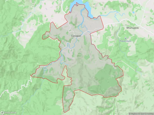
304 people live in Coroglen, Waikato, NZCoroglen Suburb Area Map (Polygon)
Coroglen Introduction
Coroglen is a small coastal village in Whitianga, Waikato, New Zealand. It is known for its beautiful beaches, clear waters, and stunning coastal scenery. The village has a population of around 200 people and is a popular destination for tourists and locals alike. It is located about 100 kilometers southeast of Hamilton and 20 kilometers northwest of Whitianga.Region
0Suburb Name
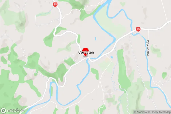
CoroglenCoroglen Area Map (Street)
Local Authority
Thames-Coromandel DistrictFull Address
Coroglen, Thames-Coromandel District, New ZealandAddress Type
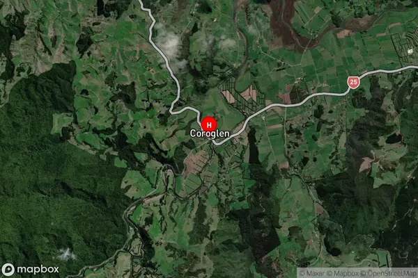
Locality in Town WhitiangaCoroglen Suburb Map (Satellite)
Country
Main Region in AU
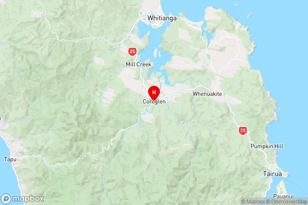
WaikatoCoroglen Region Map
Coordinates
-36.9237668,175.6916887 (latitude/longitude)Distances
The distance from Coroglen, Whitianga, Thames-Coromandel District to NZ Top 10 Cities