Kuaotunu Area, Kuaotunu Postcode(3592) & Map in Kuaotunu
Kuaotunu Area, Kuaotunu Postcode(3592) & Map in Kuaotunu, Thames-Coromandel District, New Zealand
Kuaotunu, Thames-Coromandel District, New Zealand
Kuaotunu Postcodes
Kuaotunu Area (estimated)
18.6 square kilometersKuaotunu Population (estimated)
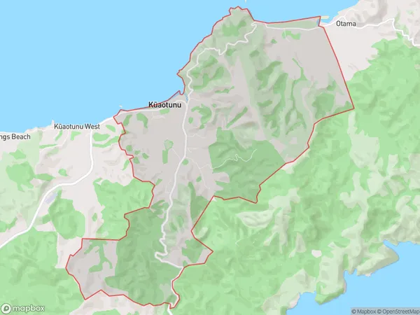
325 people live in Kuaotunu, Waikato, NZKuaotunu Suburb Area Map (Polygon)
Kuaotunu Introduction
Kuaotunu is a small beach town on the Coromandel Peninsula in Waikato, New Zealand. It is known for its stunning natural beauty, including white sandy beaches, crystal-clear waters, and rugged cliffs. The town has a population of around 100 people and is a popular destination for tourists and locals alike. Kuaotunu is also home to a small community of artists and craftspeople who work in a variety of mediums, including pottery, painting, and sculpture.Region
0Suburb Name
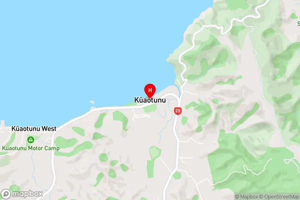
Kuaotunu (Maori Name: Kūaotunu)Kuaotunu Area Map (Street)
Local Authority
Thames-Coromandel DistrictFull Address
Kuaotunu, Thames-Coromandel District, New ZealandAddress Type
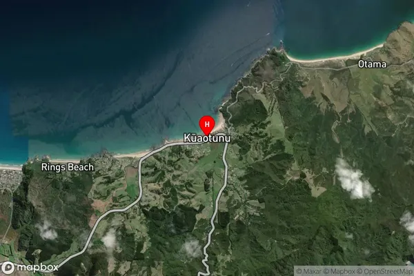
Locality in Town WhitiangaKuaotunu Suburb Map (Satellite)
Country
Main Region in AU
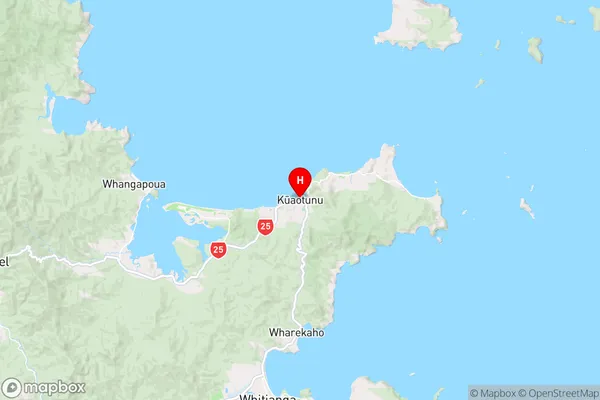
WaikatoKuaotunu Region Map
Coordinates
-36.7232825,175.7245723 (latitude/longitude)Distances
The distance from Kuaotunu, Whitianga, Thames-Coromandel District to NZ Top 10 Cities