Opito Bay Area, Opito Bay Postcode & Map in Opito Bay
Opito Bay Area, Opito Bay Postcode & Map in Opito Bay, Thames-Coromandel District,
Opito Bay, Thames-Coromandel District,
Opito Bay Area (estimated)
22.1 square kilometersOpito Bay Population (estimated)
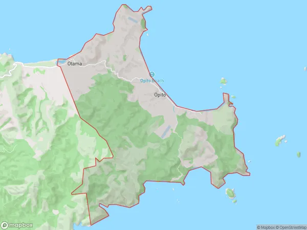
109 people live in Opito Bay, , NZOpito Bay Suburb Area Map (Polygon)
Opito Bay Introduction
Opito Bay is a small, peaceful bay located in the Whitianga region of New Zealand's North Island. It is known for its clear waters, sandy beaches, and stunning coastal scenery. The bay is a popular spot for swimming, kayaking, and fishing, and it is surrounded by lush green hills and picturesque farmland. The bay has a rich history, with evidence of early Māori settlement and European exploration. It was also the site of a significant naval battle during World War II. Today, Opito Bay is a popular tourist destination and a peaceful haven for those seeking a break from the hustle and bustle of city life.0Suburb Name
Opito BayOther Name(s)
Opito, OtamaOpito Bay Area Map (Street)
Local Authority
Thames-Coromandel DistrictFull Address
Opito Bay, Thames-Coromandel District,Address Type
Locality in Town WhitiangaOpito Bay Suburb Map (Satellite)
Country
Main Region in AU
Opito Bay Region Map
Coordinates
0,0 (latitude/longitude)Distances
The distance from Opito Bay, Whitianga, Thames-Coromandel District to NZ Top 10 Cities