Kuaotunu West Area, Kuaotunu West Postcode(3592) & Map in Kuaotunu West
Kuaotunu West Area, Kuaotunu West Postcode(3592) & Map in Kuaotunu West, Thames-Coromandel District, New Zealand
Kuaotunu West, Thames-Coromandel District, New Zealand
Kuaotunu West Postcodes
Kuaotunu West Area (estimated)
-1.2 square kilometersKuaotunu West Population (estimated)
174 people live in Kuaotunu West, Waikato, NZKuaotunu West Suburb Area Map (Polygon)
Not available for nowKuaotunu West Introduction
Kuaotunu West is a small rural community located in the Waikato region of New Zealand, known for its stunning natural surroundings and peaceful atmosphere. It is situated on the banks of the Kuaotunu River, approximately 30 minutes drive from Whitianga. The community has a population of around 500 people and is home to a variety of businesses, including a supermarket, a pharmacy, and a primary school. Kuaotunu West is a popular destination for outdoor enthusiasts, with numerous walking and hiking tracks in the surrounding area. The community also hosts a number of events throughout the year, including a farmers' market and a Christmas festival.Region
0Suburb Name
Kuaotunu West (Maori Name: Kūaotunu West)Other Name(s)
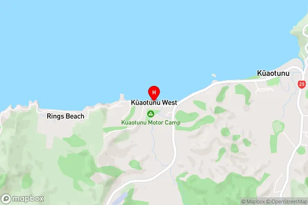
Rings BeachKuaotunu West Area Map (Street)
Local Authority
Thames-Coromandel DistrictFull Address
Kuaotunu West, Thames-Coromandel District, New ZealandAddress Type
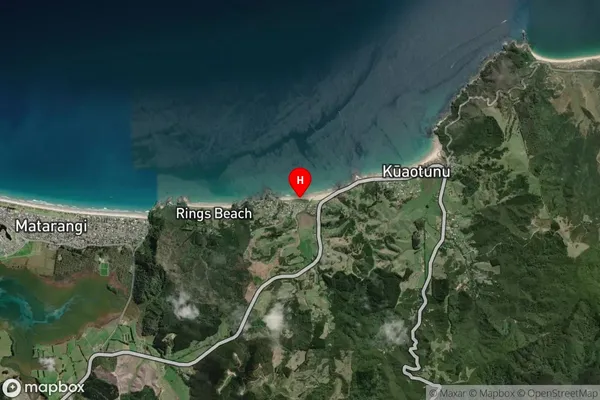
Locality in Town WhitiangaKuaotunu West Suburb Map (Satellite)
Country
Main Region in AU
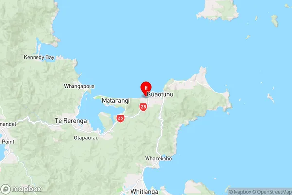
WaikatoKuaotunu West Region Map
Coordinates
-36.7272229,175.7046369 (latitude/longitude)Distances
The distance from Kuaotunu West, Whitianga, Thames-Coromandel District to NZ Top 10 Cities