Whitianga Area, Whitianga Postcode(3510) & Map in Whitianga
Whitianga Area, Whitianga Postcode(3510) & Map in Whitianga, Thames-Coromandel District, New Zealand
Whitianga, Thames-Coromandel District, New Zealand
Whitianga Area (estimated)
34.0 square kilometersWhitianga Population (estimated)
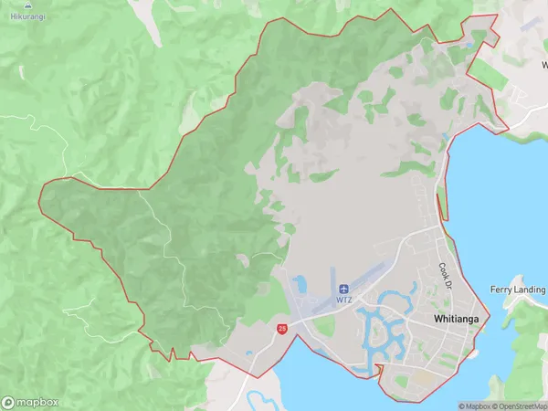
6163 people live in Whitianga, Waikato, NZWhitianga Suburb Area Map (Polygon)
Whitianga Introduction
Whitianga is a popular holiday destination on the Coromandel Peninsula in New Zealand, known for its beautiful beaches, clear waters, and vibrant nightlife. It is also a popular filming location, with several movies and TV shows being shot in the area. The town has a population of around 10,000 and is located about 120 kilometers southeast of Auckland.Region
0Suburb Name
WhitiangaOther Name(s)
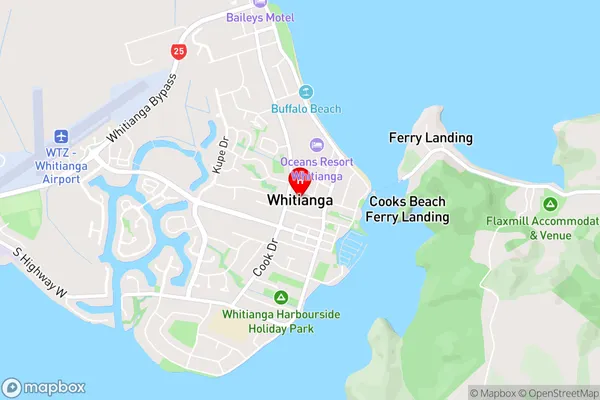
Simpsons BeachWhitianga Area Map (Street)
Local Authority
Thames-Coromandel DistrictFull Address
Whitianga, Thames-Coromandel District, New ZealandAddress Type
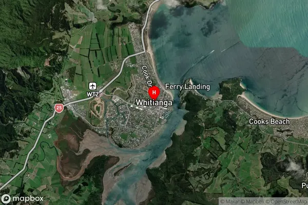
Suburb in Town WhitiangaWhitianga Suburb Map (Satellite)
Country
Main Region in AU
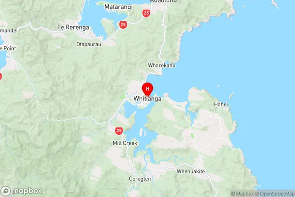
WaikatoWhitianga Region Map
Coordinates
-36.8331861,175.7024856 (latitude/longitude)Distances
The distance from Whitianga, Whitianga, Thames-Coromandel District to NZ Top 10 Cities