Matarangi Area, Matarangi Postcode(3592) & Map in Matarangi
Matarangi Area, Matarangi Postcode(3592) & Map in Matarangi, Thames-Coromandel District, New Zealand
Matarangi, Thames-Coromandel District, New Zealand
Matarangi Postcodes
Matarangi Area (estimated)
4.4 square kilometersMatarangi Population (estimated)
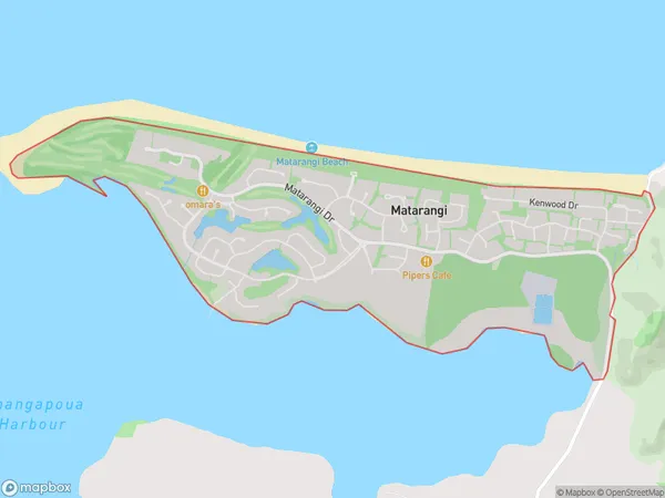
630 people live in Matarangi, Waikato, NZMatarangi Suburb Area Map (Polygon)
Matarangi Introduction
Matarangi is a small coastal town in the Waikato region of New Zealand. It is known for its beautiful beaches, clear waters, and stunning natural scenery. The town has a population of around 1,200 people and is a popular destination for tourists and locals alike. It is located about 100 kilometers north of Hamilton and is surrounded by the Matarangi Peninsula and the Hauraki Gulf. The town has a variety of recreational facilities, including a golf course, a bowling club, and a tennis court. It is also home to a number of restaurants and cafes, as well as a small supermarket and a medical center.Region
0Suburb Name
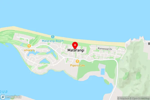
MatarangiMatarangi Area Map (Street)
Local Authority
Thames-Coromandel DistrictFull Address
Matarangi, Thames-Coromandel District, New ZealandAddress Type
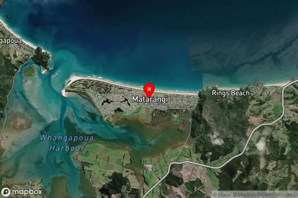
Locality in Town WhitiangaMatarangi Suburb Map (Satellite)
Country
Main Region in AU
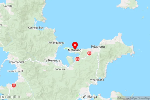
WaikatoMatarangi Region Map
Coordinates
-36.7307426,175.6616058 (latitude/longitude)Distances
The distance from Matarangi, Whitianga, Thames-Coromandel District to NZ Top 10 Cities