Cooks Beach Area, Cooks Beach Postcode(3510) & Map in Cooks Beach
Cooks Beach Area, Cooks Beach Postcode(3510) & Map in Cooks Beach, Thames-Coromandel District, New Zealand
Cooks Beach, Thames-Coromandel District, New Zealand
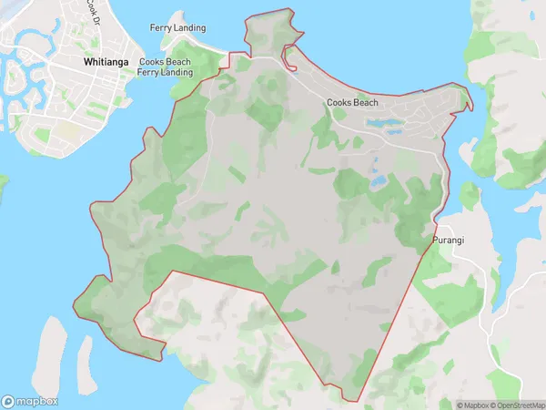
Cooks Beach Postcodes
Cooks Beach Area (estimated)
18.7 square kilometersCooks Beach Population (estimated)
632 people live in Cooks Beach, Waikato, NZCooks Beach Suburb Area Map (Polygon)
Cooks Beach Introduction
Cooks Beach is a popular holiday destination in Whitianga, Waikato, New Zealand. It is known for its long stretch of golden sand, crystal-clear waters, and stunning coastal views. The beach is surrounded by native bush and offers a range of activities such as swimming, surfing, fishing, and hiking. There are also several restaurants and cafes nearby, making it a convenient place to stay and enjoy the surrounding area.Region
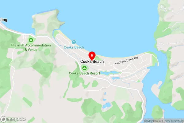
0Suburb Name
Cooks BeachCooks Beach Area Map (Street)
Local Authority
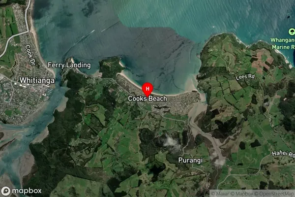
Thames-Coromandel DistrictFull Address
Cooks Beach, Thames-Coromandel District, New ZealandAddress Type
Locality in Town WhitiangaCooks Beach Suburb Map (Satellite)
Country
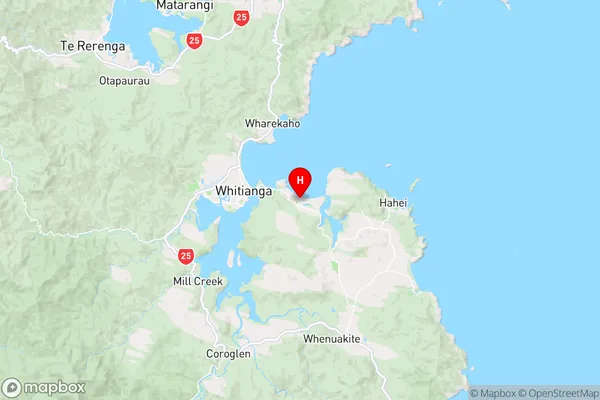
Main Region in AU
WaikatoCooks Beach Region Map
Coordinates
-36.8382656,175.7410613 (latitude/longitude)Distances
The distance from Cooks Beach, Whitianga, Thames-Coromandel District to NZ Top 10 Cities