Wharekaho Area, Wharekaho Postcode(3510) & Map in Wharekaho
Wharekaho Area, Wharekaho Postcode(3510) & Map in Wharekaho, Thames-Coromandel District, New Zealand
Wharekaho, Thames-Coromandel District, New Zealand
Wharekaho Postcodes
Wharekaho Area (estimated)
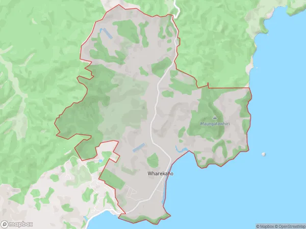
18.2 square kilometersWharekaho Population (estimated)
260 people live in Wharekaho, Waikato, NZWharekaho Suburb Area Map (Polygon)
Wharekaho Introduction
Wharekaho is a small rural community in the Waikato region of New Zealand, located on State Highway 2. It is known for its picturesque rural setting, with rolling hills and lush green farmland. The community has a population of around 100 people and is home to a primary school, a church, and a few small businesses. Wharekaho is also a popular destination for outdoor activities such as hiking, fishing, and hunting, with nearby forests and rivers providing ample opportunities for recreation.Region
0Suburb Name
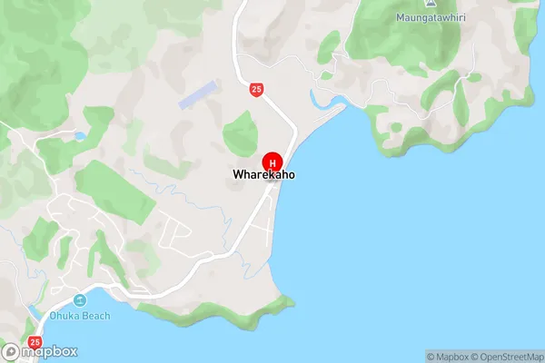
WharekahoWharekaho Area Map (Street)
Local Authority
Thames-Coromandel DistrictFull Address
Wharekaho, Thames-Coromandel District, New ZealandAddress Type
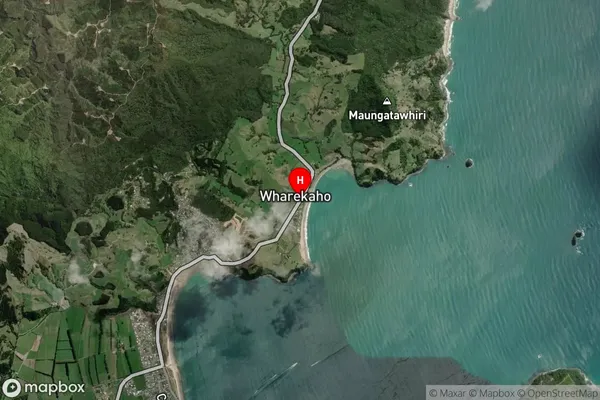
Locality in Town WhitiangaWharekaho Suburb Map (Satellite)
Country
Main Region in AU
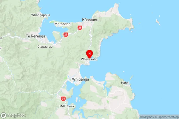
WaikatoWharekaho Region Map
Coordinates
-36.7967102,175.7229988 (latitude/longitude)Distances
The distance from Wharekaho, Whitianga, Thames-Coromandel District to NZ Top 10 Cities