Kuaotunu Suburbs & Region, Kuaotunu Map & Postcodes in Kuaotunu, Thames-Coromandel, Coromandel

Kuaotunu Postcodes, Kuaotunu ZipCodes, Kuaotunu , Kuaotunu Waikato, Kuaotunu Suburbs, Kuaotunu Region, Kuaotunu Map, Kuaotunu Area

Kuaotunu Region

  • Kuaotunu Suburbs

    Kuaotunu is a suburb place type in Thames-Coromandel, Coromandel, NZ. It contains 0 suburbs or localities.
  • Kuaotunu district

    Thames-Coromandel
  • Kuaotunu Region Map

    Kuaotunu, Waikato Region Map
  • Kuaotunu Introduction

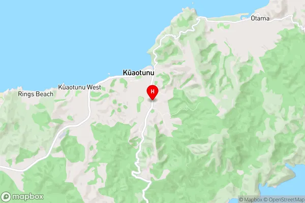
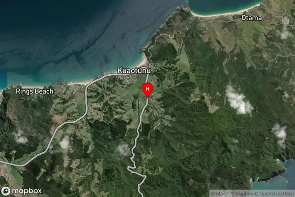
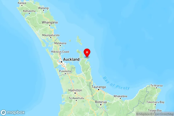
    Kuaotunu is a small coastal settlement located in the Waikato region of New Zealand. It is situated on the shores of the Kuaotunu Bay and is known for its stunning natural beauty, including crystal-clear waters, white sandy beaches, and rugged cliffs. The settlement has a population of around 500 people and is a popular destination for tourists and outdoor enthusiasts. Kuaotunu is also home to a number of historic buildings, including a church and a school, which date back to the early 1900s. The area is surrounded by lush farmland and is known for its produce, including strawberries, tomatoes, and avocados.
  • Kuaotunu Region

  • Kuaotunu Satellite Map

    Kuaotunu, Waikato Satellite Map
  • Full Address

    Kuaotunu, Thames-Coromandel, Coromandel
  • Kuaotunu Coordinates

    -36.7311036,175.7293123 (Latitude / Longitude)
  • Kuaotunu Map in NZ

    Kuaotunu, Waikato Region Map
  • NZ Island

    North Island
  • Kuaotunu Area Map (Polygon)

    Kuaotunu, Waikato Polygon Area Map
  • Name

    Kuaotunu
  • Additional Name

  • Local Authority

    Thames-Coromandel District

Kuaotunu Suburbs (Sort by Population)

Kuaotunu suburb has around 18.6 square kilometers.There are more than 325 people (estimated) live in Kuaotunu, , Waikato, New Zealand.

Kuaotunu Suburbs (Sort in alphabetical)