Opito Bay Suburbs & Region, Opito Bay Map & Postcodes in Opito Bay, Thames-Coromandel, Coromandel
Opito Bay Postcodes, Opito Bay ZipCodes, Opito Bay , Opito Bay Waikato, Opito Bay Suburbs, Opito Bay Region, Opito Bay Map, Opito Bay Area
Opito Bay Region (Opito, Otama Region)
Opito Bay Suburbs
Opito Bay is a suburb place type in Thames-Coromandel, Coromandel, NZ. It contains 0 suburbs or localities.Opito Bay district
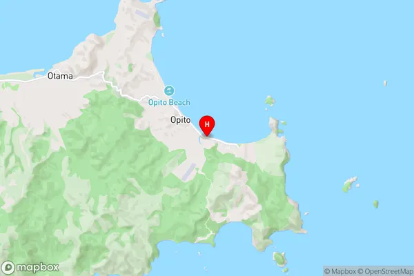
Thames-CoromandelOpito Bay Region Map
Opito Bay Introduction
Opito Bay is a small coastal settlement located in the Waikato region of New Zealand. It is known for its stunning natural beauty, including crystal-clear waters, white sandy beaches, and rugged cliffs. The bay is a popular spot for swimming, kayaking, and fishing, and it is home to a small community of residents and holidaymakers. The area is also home to a number of important historical sites, including the Opito Bay Lighthouse, which was built in 1878 to guide ships into the bay.Opito Bay Region
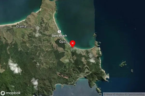
Opito Bay Satellite Map
Full Address
Opito Bay, Thames-Coromandel, CoromandelOpito Bay Coordinates
-36.7209215,175.8022015 (Latitude / Longitude)Opito Bay Map in NZ
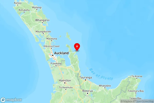
NZ Island
North IslandCountry
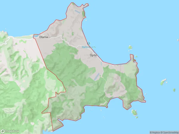
Opito Bay Area Map (Polygon)
Name
Opito BayAdditional Name
Opito, OtamaLocal Authority
Thames-Coromandel District
Opito Bay Suburbs (Sort by Population)
Opito Bay also known as Opito, Otama. Opito Bay suburb has around
22.1 square
kilometers.There are more than 109 people (estimated)
live in Opito Bay, , Waikato, New Zealand.