Opoutere Suburbs & Region, Opoutere Map & Postcodes in Opoutere, Thames-Coromandel, Coromandel
Opoutere Postcodes, Opoutere ZipCodes, Opoutere , Opoutere Waikato, Opoutere Suburbs, Opoutere Region, Opoutere Map, Opoutere Area
Opoutere Region (Duck Creek, Ohui Region)
Opoutere Suburbs
Opoutere is a suburb place type in Thames-Coromandel, Coromandel, NZ. It contains 0 suburbs or localities.Opoutere district
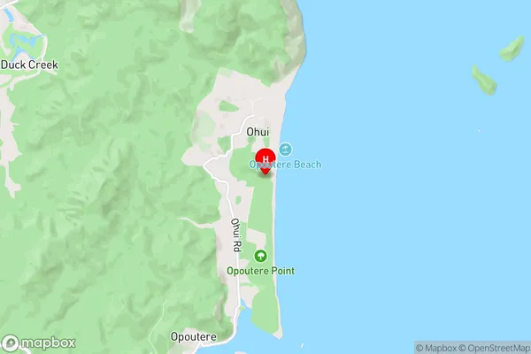
Thames-CoromandelOpoutere Region Map

Opoutere Introduction
Opoutere is a small coastal village located on the Bay of Islands in the Northland region of New Zealand. It is known for its stunning beaches, clear waters, and picturesque surroundings. The village has a population of around 100 people and is a popular destination for tourists and outdoor enthusiasts. The area is rich in history and culture, with several ancient sites and museums nearby. Visitors can explore the nearby Paihia Harbour, hike through the Opoutere Forest Reserve, or take a boat tour to see the dolphins and whales that frequent the area.Opoutere Region
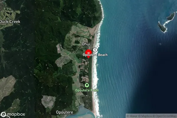
Opoutere Satellite Map

Full Address
Opoutere, Thames-Coromandel, CoromandelOpoutere Coordinates
-37.0849053,175.8838914 (Latitude / Longitude)Opoutere Map in NZ

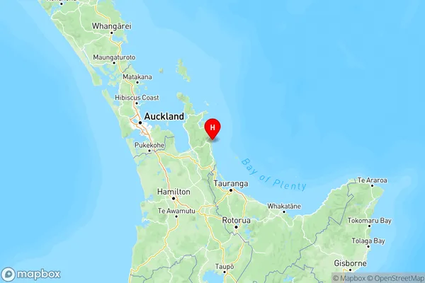
NZ Island
North IslandCountry
Opoutere Area Map (Polygon)
Not available for nowName
OpoutereAdditional Name
Duck Creek, OhuiLocal Authority
Thames-Coromandel District
Opoutere Suburbs (Sort by Population)
Opoutere also known as Duck Creek, Ohui. Opoutere suburb has around
-1.2 square
kilometers.There are more than 160 people (estimated)
live in Opoutere, , Waikato, New Zealand.