Port Charles Suburbs & Region, Port Charles Map & Postcodes in Port Charles, Thames-Coromandel, Coromandel
Port Charles Postcodes, Port Charles ZipCodes, Port Charles , Port Charles Waikato, Port Charles Suburbs, Port Charles Region, Port Charles Map, Port Charles Area
Port Charles Region
Port Charles Suburbs
Port Charles is a suburb place type in Thames-Coromandel, Coromandel, NZ. It contains 0 suburbs or localities.Port Charles district
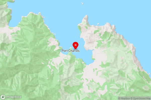
Thames-CoromandelPort Charles Region Map
Port Charles Introduction
Port Charles is a small town in the Waikato region of New Zealand. It is located on the banks of the Waikato River, approximately 100 km south of Hamilton. The town has a population of around 3,000 people and is known for its historic buildings, including the Port Charles Hotel, which was built in 1878. The town also has a popular beach, a golf course, and a range of recreational facilities. Port Charles is a popular destination for tourists and locals alike, with its scenic surroundings and relaxed atmosphere.Port Charles Region
Port Charles City
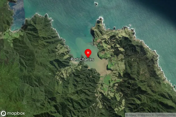
Port Charles Satellite Map
Full Address
Port Charles, Thames-Coromandel, CoromandelPort Charles Coordinates
-36.524201,175.467493 (Latitude / Longitude)Port Charles Map in NZ
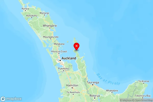
NZ Island
North IslandCountry