Cooks Beach Suburbs & Region, Cooks Beach Map & Postcodes in Cooks Beach, Thames-Coromandel, Coromandel
Cooks Beach Postcodes, Cooks Beach ZipCodes, Cooks Beach , Cooks Beach Waikato, Cooks Beach Suburbs, Cooks Beach Region, Cooks Beach Map, Cooks Beach Area
Cooks Beach Region
Cooks Beach Suburbs
Cooks Beach is a suburb place type in Thames-Coromandel, Coromandel, NZ. It contains 0 suburbs or localities.Cooks Beach district
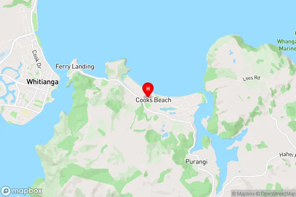
Thames-CoromandelCooks Beach Region Map
Cooks Beach Introduction
Cooks Beach is a popular holiday destination located on the west coast of the Waikato region in New Zealand. It is known for its stunning natural beauty, including white sand beaches, crystal-clear waters, and rugged cliffs. The beach is popular with swimmers, surfers, and families, and there are also a number of walking and hiking trails nearby. The area is also home to a variety of wildlife, including seals, dolphins, and penguins. Cooks Beach is a must-visit destination for anyone looking for a relaxing and scenic holiday in New Zealand.Cooks Beach Region
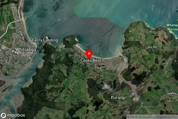
Cooks Beach Satellite Map
Full Address
Cooks Beach, Thames-Coromandel, CoromandelCooks Beach Coordinates
-36.8378512,175.7391764 (Latitude / Longitude)Cooks Beach Map in NZ
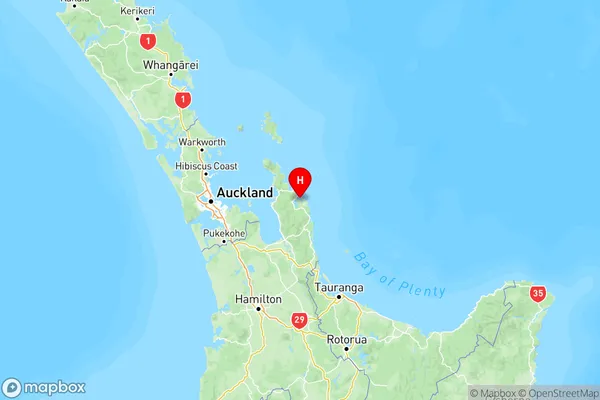
NZ Island
North IslandCountry
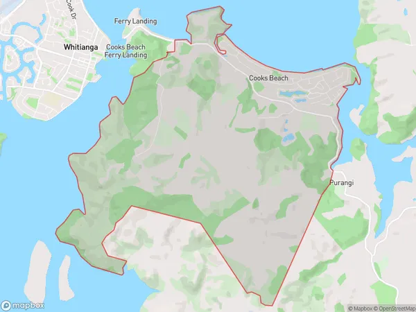
Cooks Beach Area Map (Polygon)
Name
Cooks BeachAdditional Name
Local Authority
Thames-Coromandel District
Cooks Beach Suburbs (Sort by Population)
Cooks Beach suburb has around
18.7 square
kilometers.There are more than 632 people (estimated)
live in Cooks Beach, , Waikato, New Zealand.