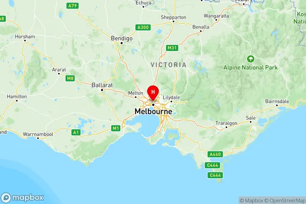
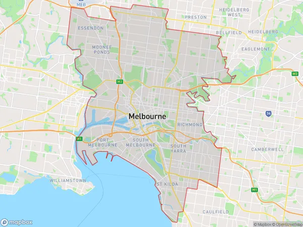
Melbourne Inner Suburbs & Region, Melbourne Inner Map & Postcodes
Melbourne Inner Suburbs & Region, Melbourne Inner Map & Postcodes in Melbourne Inner, VIC, AU
Melbourne Inner Region
Region Name
Melbourne Inner (VIC, AU)Melbourne Inner Area
142.46 square kilometers (142.46 ㎢)Postal Codes
from 3000 to 3006, 3008, 3010, 3031, 3039, from 3050 to 3057, from 3065 to 3068, 3070, 3071, 3078, 3121, 3141, 3143, 3181, 3182, 3184, 3205, 3206, 8001, 8002, 8005, 8008, 8012, 8045, 8051, 8066, from 8069 to 8071, 8102, 8107, 8111, 8120, 8205, and 9999 (In total, there are 51 postcodes in Melbourne Inner.)Melbourne Inner Introduction
Melbourne Inner is a suburb of Melbourne, Victoria, Australia, 3 km north-east of Melbourne's Central Business District (CBD). Its local government area is the City of Melbourne. At the 2016 Census, Melbourne Inner had a population of 11,236. The suburb is named after the Melbourne Inner Circle railway line, which was built in 1859 and closed in 1999. The area was developed as a residential suburb in the late 19th and early 20th centuries, with many grand Victorian homes built on large blocks of land. Today, Melbourne Inner is a popular suburb with a mix of residential and commercial properties. It is home to a number of parks, including Albert Park Lake and Queen Victoria Market, as well as a variety of restaurants, cafes, and shops. The suburb is also well-connected to the rest of Melbourne, with easy access to public transport and the Melbourne CBD.Australia State
City or Big Region
Melbourne Inner Region Map

Melbourne Inner Postcodes / Zip Codes
Melbourne Inner Suburbs
Brunswick Coburg
Darebin South
Melbourne City
Port Phillip
Stonnington West
Melbourne Inner full address
Melbourne Inner, Victoria, VIC, Australia, SaCode: 206Country
Melbourne Inner, Victoria, VIC, Australia, SaCode: 206
Melbourne Inner Suburbs & Region, Melbourne Inner Map & Postcodes has 7 areas or regions above, and there are 87 Melbourne Inner suburbs below. The sa4code for the Melbourne Inner region is 206. Its latitude and longitude coordinates are -37.7666,144.958.
Melbourne Inner Suburbs & Localities
1. Brunswick Lower
2. Brunswick South
3. Sumner
4. Alphington
5. Northcote
6. Thornbury
7. Flemington
8. Moonee Ponds
9. Carlton
10. Docklands
11. World Trade Centre
12. East Melbourne
13. Melbourne
14. North Pole
15. North Melbourne
16. Melbourne University
17. University Of Melbourne
18. Royal Melbourne Hospital
19. St Kilda Road Central
20. Domain Road Po
21. South Wharf
22. West Melbourne
23. Albert Park
24. Brighton Road
25. South Melbourne
26. St Kilda South
27. Armadale
28. Windsor
29. Abbotsford
30. Princes Hill
31. Collingwood
32. Fitzroy
33. Fitzroy North
34. Richmond East
