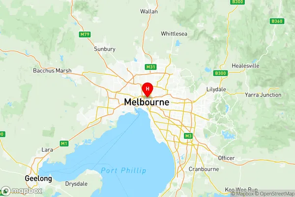
Melbourne City Suburbs & Region, Melbourne City Map & Postcodes
Melbourne City Suburbs & Region, Melbourne City Map & Postcodes in Melbourne City, Melbourne Inner, VIC, AU
Melbourne City Region
Region Name
Melbourne City (VIC, AU)Melbourne City Area
31.39 square kilometers (31.39 ㎢)Melbourne City Introduction
Melbourne City is the central business district of Melbourne, Victoria, Australia. It is located in the state's capital city, Melbourne, and is the second-largest city in Australia by population. The city is known for its vibrant culture, world-class restaurants, shopping, and entertainment. It is also home to many of Australia's largest companies and financial institutions. Melbourne City is a popular tourist destination and is home to many iconic landmarks, such as the Melbourne Cricket Ground, the Melbourne Convention and Exhibition Centre, and the Southbank Promenade.Australia State
City or Big Region
District or Regional Area
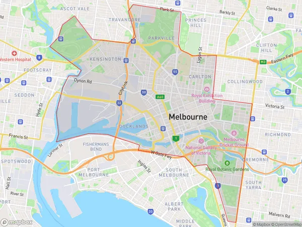
Melbourne City Region Map

Melbourne City Suburbs
Flemington Racecourse
Kensington (Vic.)
North Melbourne
Melbourne CBD East
Melbourne CBD North
Melbourne CBD West
North Melbourne
Royal Botanic Gardens Victoria
Southbank (West) South Wharf
West Melbourne Residential
Melbourne City full address
Melbourne City, Melbourne Inner, Victoria, VIC, Australia, SaCode: 20604Country
Melbourne City, Melbourne Inner, Victoria, VIC, Australia, SaCode: 20604
Melbourne City Suburbs & Region, Melbourne City Map & Postcodes has 18 areas or regions above, and there are 0 Melbourne City suburbs below. The sa3code for the Melbourne City region is 20604. Its latitude and longitude coordinates are -37.7984,144.969.
