Docklands Suburbs & Region, Docklands Map & Postcodes
Docklands Suburbs & Region, Docklands Map & Postcodes in Docklands, Melbourne City, Melbourne Inner, VIC, AU
Docklands Region
Region Name
Docklands (VIC, AU)Docklands Area
2.44 square kilometers (2.44 ㎢)Docklands Introduction
Docklands is a suburb of Melbourne, Victoria, Australia. It is located in the Port Phillip Bay and is home to the Melbourne Convention and Exhibition Centre. The suburb was developed in the 1980s and 1990s as a new residential and commercial area. It is known for its modern architecture, including the iconic Eureka Tower. Docklands has a variety of shopping, dining, and entertainment options, as well as a large marina and several parks. It is also home to a number of major corporations and government agencies.Australia State
City or Big Region
Greater Capital City
Greater Melbourne (2GMEL)District or Regional Area
Suburb Name
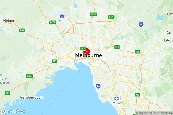
Docklands Region Map

Docklands Suburbs
Docklands full address
Docklands, Melbourne City, Melbourne Inner, Victoria, VIC, Australia, SaCode: 206041118Country
Docklands, Melbourne City, Melbourne Inner, Victoria, VIC, Australia, SaCode: 206041118
Docklands Suburbs & Region, Docklands Map & Postcodes has 0 areas or regions above, and there are 0 Docklands suburbs below. The sa2code for the Docklands region is 206041118. Its latitude and longitude coordinates are -37.8227,144.954. Docklands area belongs to Australia's greater capital city Greater Melbourne.
