Docklands Area, Docklands Postcode(3008) & Map in Docklands, Melbourne - Inner, VIC
Docklands Area, Docklands Postcode(3008) & Map in Docklands, Melbourne - Inner, VIC, AU, Postcode: 3008
Docklands, Docklands, Melbourne City, Melbourne - Inner, Victoria, Australia, 3008
Docklands Postcode
Area Name
DocklandsDocklands Suburb Area Map (Polygon)

Docklands Introduction
Docklands is a suburb in Melbourne, Victoria, Australia. It is located in the Port Phillip Bay region and is known for its modern architecture, waterfront developments, and cultural attractions. The suburb is home to the Melbourne Convention and Exhibition Centre, the Australian Grand Prix Circuit, and several popular parks and recreational facilities. Docklands has a diverse population and is a popular destination for tourists and locals alike.State Name
City or Big Region
District or Regional Area
Suburb Name
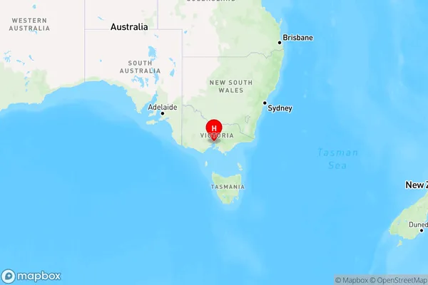
Docklands Region Map

Country
Main Region in AU
R1Coordinates
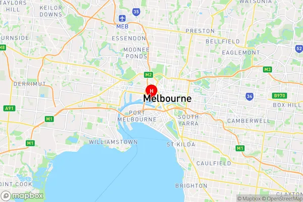
-37.8170652,144.9419122 (latitude/longitude)Docklands Area Map (Street)

Longitude
144.948039Latitude
-37.814719Docklands Elevation
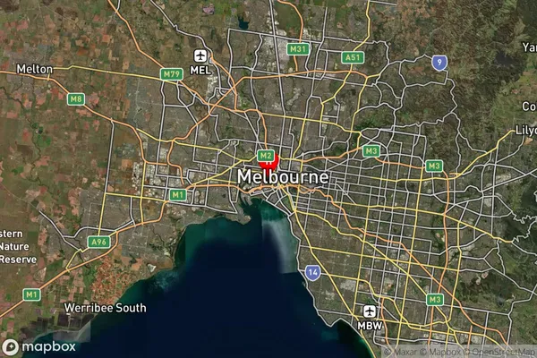
about 12.56 meters height above sea level (Altitude)Docklands Suburb Map (Satellite)

Distances
The distance from Docklands, Melbourne - Inner, VIC to AU Greater Capital CitiesSA1 Code 2011
20604111813SA1 Code 2016
20604111813SA2 Code
206041118SA3 Code
20604SA4 Code
206RA 2011
1RA 2016
1MMM 2015
1MMM 2019
1Charge Zone
V1LGA Region
MelbourneLGA Code
24600Electorate
Melbourne