World Trade Centre Area, World Trade Centre Postcode(3005) & Map in World Trade Centre, Melbourne - Inner, VIC
World Trade Centre Area, World Trade Centre Postcode(3005) & Map in World Trade Centre, Melbourne - Inner, VIC, AU, Postcode: 3005
World Trade Centre, Docklands, Melbourne City, Melbourne - Inner, Victoria, Australia, 3005
World Trade Centre Postcode
Area Name
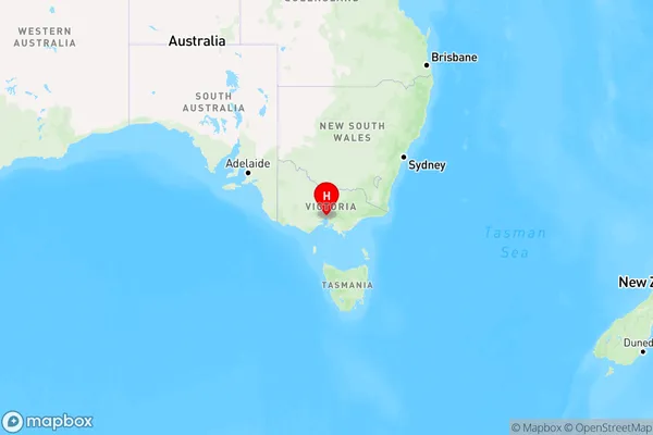
World Trade CentreWorld Trade Centre Suburb Area Map (Polygon)

World Trade Centre Introduction
The World Trade Centre Melbourne is a commercial skyscraper in Melbourne, Victoria, Australia. It is located in the city's central business district and stands at 272 meters (892 ft) tall with 88 floors. The building was completed in 1988 and was the tallest building in Australia until 2009. It is known for its distinctive design and has become an iconic symbol of Melbourne's skyline.State Name
City or Big Region
District or Regional Area
Suburb Name
World Trade Centre Region Map

Country
Main Region in AU
R1Coordinates
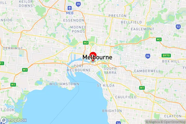
-37.8226739,144.953839 (latitude/longitude)World Trade Centre Area Map (Street)

Longitude
144.950858Latitude
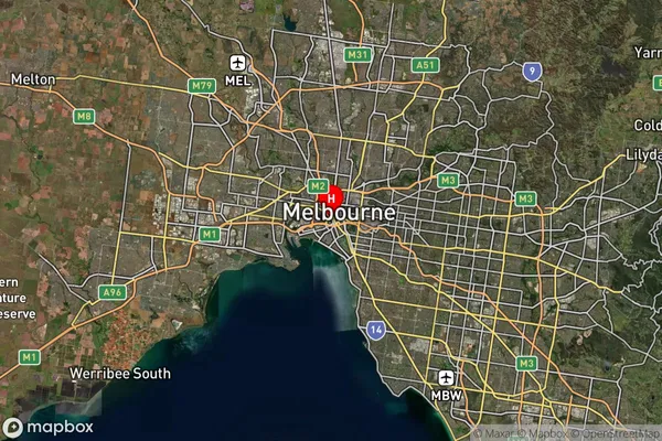
-37.824608World Trade Centre Suburb Map (Satellite)

Distances
The distance from World Trade Centre, Melbourne - Inner, VIC to AU Greater Capital CitiesSA1 Code 2011
20604111804SA1 Code 2016
20604111804SA2 Code
206041118SA3 Code
20604SA4 Code
206RA 2011
1RA 2016
1MMM 2015
1MMM 2019
1Charge Zone
V1LGA Region
MelbourneLGA Code
24600Electorate
Melbourne