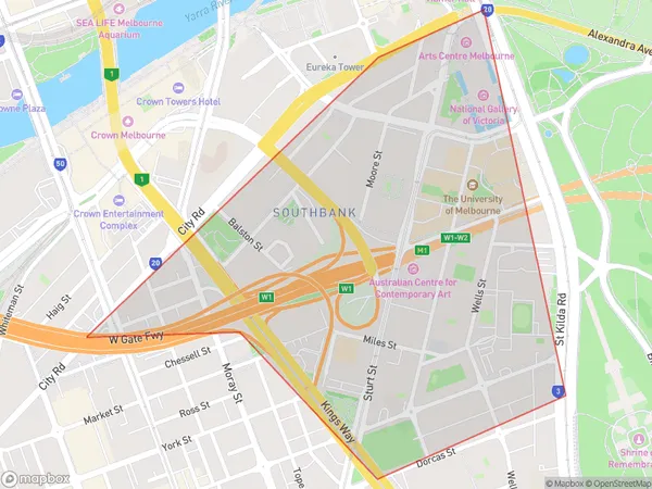
Southbank East Suburbs & Region, Southbank East Map & Postcodes
Southbank East Suburbs & Region, Southbank East Map & Postcodes in Southbank East, Melbourne City, Melbourne Inner, VIC, AU
Southbank East Region
Region Name
Southbank East (VIC, AU)Southbank East Area
0.8 square kilometers (0.8 ㎢)Southbank East Introduction
Southbank East is a suburb of Melbourne, Victoria, Australia. It is located 3 kilometers south-east of Melbourne's central business district (CBD) and is part of the City of Melbourne local government area. Southbank East is known for its vibrant arts and culture scene, with the Southbank Arts Centre and the Melbourne Convention and Exhibition Centre located in the suburb. It is also home to a number of popular restaurants, cafes, and bars, including the Crown Casino and Entertainment Complex. The suburb is well-connected to public transport, with Southbank Station located on the Southbank Promenade and several bus routes servicing the area.Australia State
City or Big Region
Greater Capital City
Greater Melbourne (2GMEL)District or Regional Area
Suburb Name
Southbank East Suburbs
Southbank East full address
Southbank East, Melbourne City, Melbourne Inner, Victoria, VIC, Australia, SaCode: 206041509Country
Southbank East, Melbourne City, Melbourne Inner, Victoria, VIC, Australia, SaCode: 206041509
Southbank East Suburbs & Region, Southbank East Map & Postcodes has 0 areas or regions above, and there are 0 Southbank East suburbs below. The sa2code for the Southbank East region is 206041509. Southbank East area belongs to Australia's greater capital city Greater Melbourne.
