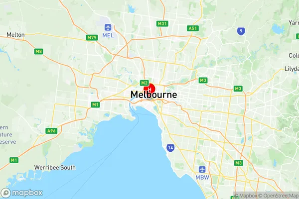
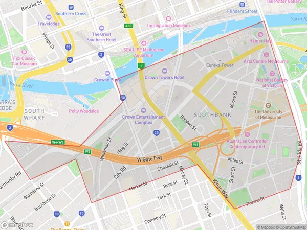
Southbank Suburbs & Region, Southbank Map & Postcodes
Southbank Suburbs & Region, Southbank Map & Postcodes in Southbank, Melbourne City, Melbourne Inner, VIC, AU
Southbank Region
Region Name
Southbank (VIC, AU)Postal Codes
3004, 3006, and 8005 (In total, there are 3 postcodes in Southbank.)Southbank Introduction
Southbank is a suburb of Melbourne, Victoria, Australia. It is located 4 km south-east of Melbourne's central business district (CBD) and is bounded by the Yarra River to the north, St Kilda Road to the east, Southbank Promenade to the south, and the West Gate Freeway to the west. Southbank is known for its cultural institutions, including the National Gallery of Victoria, the Melbourne Convention and Exhibition Centre, and the Arts Centre Melbourne. It is also home to a number of restaurants, cafes, and bars, as well as the Southbank Parklands, which include the Melbourne Aquarium and the Royal Botanic Gardens. Southbank is a popular destination for tourists and locals alike, with its stunning views of the city skyline and its many recreational facilities.Australia State
City or Big Region
District or Regional Area
Suburb Name
Southbank Region Map

Southbank Postcodes / Zip Codes
Southbank Suburbs
Southbank full address
Southbank, Melbourne City, Melbourne Inner, Victoria, VIC, Australia, SaCode: 206041126Country
Southbank, Melbourne City, Melbourne Inner, Victoria, VIC, Australia, SaCode: 206041126
Southbank Suburbs & Region, Southbank Map & Postcodes has 0 areas or regions above, and there are 3 Southbank suburbs below. The sa2code for the Southbank region is 206041126. Its latitude and longitude coordinates are -37.825,144.952.
Southbank Suburbs & Localities
1. South Wharf
2. Melbourne
3. World Trade Centre
