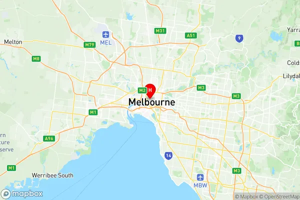
Melbourne Suburbs & Region, Melbourne Map & Postcodes
Melbourne Suburbs & Region, Melbourne Map & Postcodes in Melbourne, Melbourne City, Melbourne Inner, VIC, AU
Melbourne Region
Region Name
Melbourne (VIC, AU)Postal Codes
3000, 3001, 8001, 8003, 8006, 8007, 8009, 8011, 8045, 8051, 8066, from 8069 to 8071, 8102, 8107, 8111, 8120, 8205, and 9999 (In total, there are 20 postcodes in Melbourne.)Melbourne Introduction
Melbourne is the capital and most populous city of the Australian state of Victoria. It is located on the large natural bay of Port Phillip and spreads into the hinterlands towards the Dandenong and Macedon mountain ranges, Mornington Peninsula, and Yarra Valley. Melbourne is Australia's second-largest city and the world's most liveable city. It has an estimated population of 4,727,668 as of June 2023. The city is renowned for its cultural institutions, including the Melbourne Museum, the National Gallery of Victoria, and the Australian Ballet. It is also home to a diverse range of industries, including finance, technology, healthcare, and education. Melbourne is known for its vibrant arts scene, with numerous galleries, museums, and theaters. It is also a popular destination for tourists, with many attractions such as the Melbourne Cricket Ground, the Royal Botanic Gardens, and the Queen Victoria Market.Australia State
City or Big Region
District or Regional Area
Suburb Name
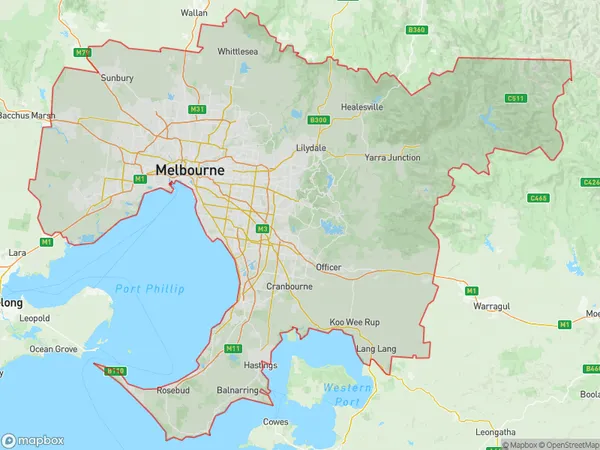
Melbourne Region Map

Melbourne Postcodes / Zip Codes
Melbourne Suburbs
Melbourne full address
Melbourne, Melbourne City, Melbourne Inner, Victoria, VIC, Australia, SaCode: 206041122Country
Melbourne, Melbourne City, Melbourne Inner, Victoria, VIC, Australia, SaCode: 206041122
Melbourne Suburbs & Region, Melbourne Map & Postcodes has 0 areas or regions above, and there are 20 Melbourne suburbs below. The sa2code for the Melbourne region is 206041122. Its latitude and longitude coordinates are -37.8097,144.959.
Melbourne Suburbs & Localities
1. Melbourne
2. Melbourne
3. Melbourne
4. Melbourne
5. Melbourne
6. Collins Street West
7. Melbourne
8. Melbourne
9. Melbourne
10. Melbourne
11. Little Lonsdale Street
12. Melbourne
13. Melbourne
14. North Pole
15. Collins Street East
16. Abeckett Street
17. Flinders Lane
18. Melbourne
19. Melbourne
20. Melbourne
