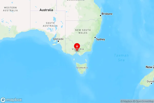
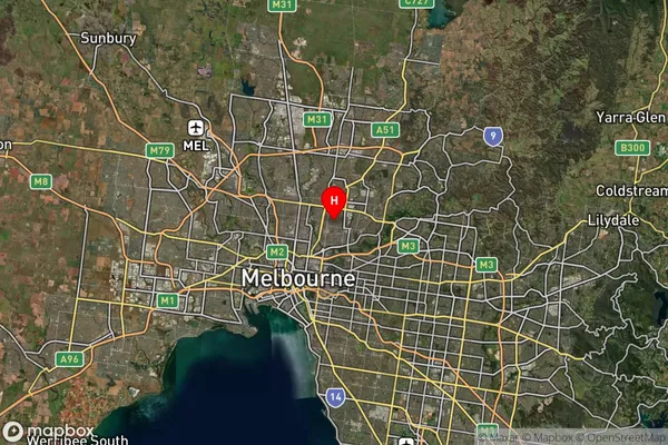
Thornbury Area, Thornbury Postcode(3071) & Map in Thornbury, Melbourne - Inner, VIC
Thornbury Area, Thornbury Postcode(3071) & Map in Thornbury, Melbourne - Inner, VIC, AU, Postcode: 3071
Thornbury, Thornbury, Darebin - South, Melbourne - Inner, Victoria, Australia, 3071
Thornbury Postcode
Area Name
ThornburyThornbury Suburb Area Map (Polygon)

Thornbury Introduction
Thornbury is a suburb in Melbourne, Australia, 8 km north-west of the Melbourne CBD. It is located in the City of Moreland local government area. Thornbury was named after a farm owned by John Thornbury, who arrived in Victoria in 1835. The post office opened as Northcote on 1 October 1851 and was renamed Thornbury in 1856.State Name
City or Big Region
District or Regional Area
Suburb Name
Thornbury Region Map

Country
Main Region in AU
R1Coordinates
-37.7600493,145.0080039 (latitude/longitude)Thornbury Area Map (Street)

Longitude
145.007006Latitude
-37.759426Thornbury Suburb Map (Satellite)

Distances
The distance from Thornbury, Melbourne - Inner, VIC to AU Greater Capital CitiesSA1 Code 2011
20602111215SA1 Code 2016
20602111215SA2 Code
206021112SA3 Code
20602SA4 Code
206RA 2011
1RA 2016
1MMM 2015
1MMM 2019
1Charge Zone
V1LGA Region
DarebinLGA Code
21890Electorate
Cooper